
Observation Date
1/5/2020
Observer Name
Gagne
Region
Salt Lake » Little Cottonwood Canyon
Location Name or Route
Upper LCC/BCC Perimeter
Comments
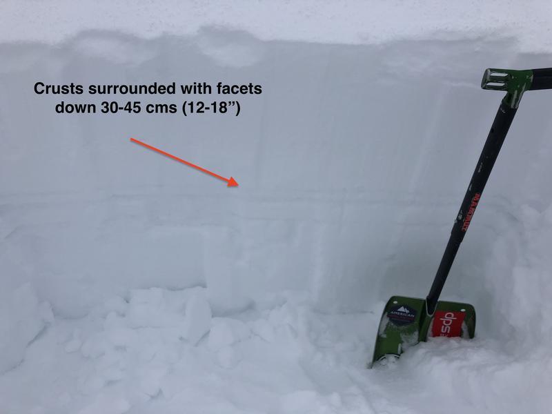
Spent time today looking at facet/crust combinations that have led to widespread avalanche activity on southwest through southeast aspects. Although this has been a very reactive weak layer with numerous remotely-triggered avalanches, overall the structure doesn't seem that alarming and I'm expecting it will stabilize fairly soon (within several days perhaps?) I dug several pits on these solar aspects > 9000' and could not get any ECTs to propagate. Shovel shear tests were getting STM (moderate pressure). The weakest snow is a layer of faceted snow on top of the upper-most crust, down ~30-45 cms (12-18").
Photo 1 is pit showing the different crust layers
Photo 2 is faceted grains around these crusts. Overall these are not very weak grains, they are rounded with some sintering (bonding) between the grains.
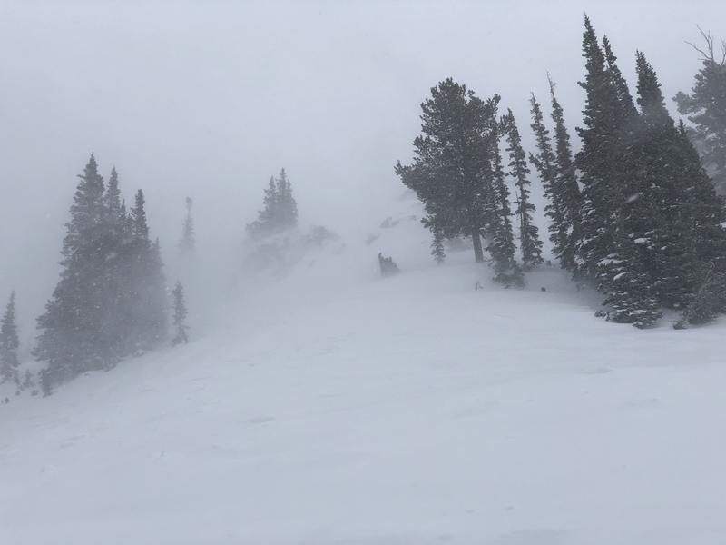
Photo 3 shows winds working snow well down off of ridgelines.

Hazard is Considerable in upper elevations that have received the most snow and wind. Mid elevations provide the best riding conditions as they are less affected from recent wind. Low elevations likely will remain at Low hazard.
Today's Observed Danger Rating
Considerable
Tomorrows Estimated Danger Rating
Considerable


