Observation Date
12/19/2019
Observer Name
Fink
Region
Salt Lake » Big Cottonwood Canyon » Raymond Peak
Location Name or Route
East Raymond
Comments
Toured from Butler->Mill A->East shoulder of Raymond. Lower elevations are a mix of sun crusts and preserved dense powder. Some wind drifting onto the Southerly side of Baker pass but wind transported snow was limited to areas immediately below the ridgeline, and there was no cohesive slab formation. Southerly slopes are getting solar as noted above, but SE facing was well-preserved creamy powder. We were able to start some moderate loose snow sluffs on the steepest pitches of the chutes off of Raymond summit but these were predictable and not large in size. Multiple ski cuts and cornice drops produced no results and the riding was excellent.
Exited out Butler Basin from Gobblers. E facing head of the basin is heavily windloaded and extremely suspect. 45 degrees of the compass away on the SE aspect the snowpack was just 30-40cm deep, storm snow on ground. Skied well and again no evidence of instability.
Powder remains available in select locations. As we enter a dry period until Christmas it will be challenging to rein in the desire to jump onto E-NE slopes for lack of better snow, but we've made it this far, might as well let that basement layer heal up.
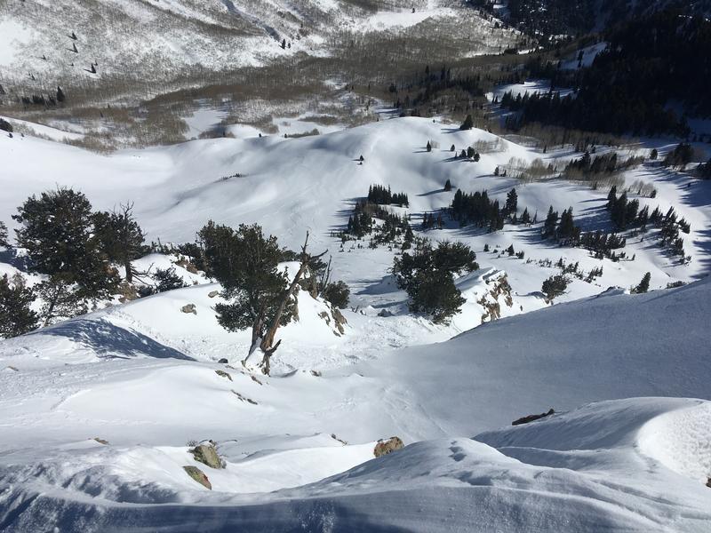
Photo 1: Sluffing on steep SE slopes.
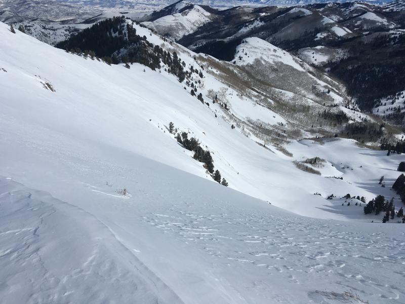
Photo 2: Upper butler basin, left=southerly, storm snow on ground, right=easterly, wind loaded and convex, question of basal facetes.
Today's Observed Danger Rating
Moderate
Tomorrows Estimated Danger Rating
Moderate
Coordinates


