Observation Date
11/4/2019
Observer Name
Grainger
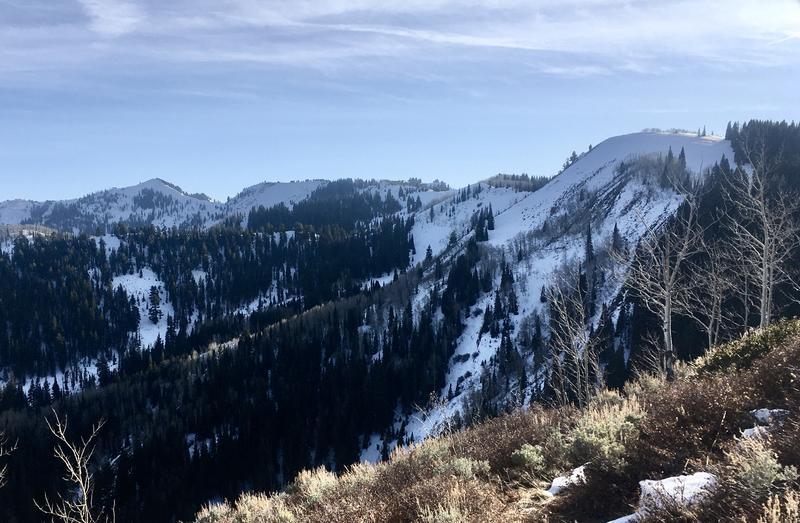
Region
Salt Lake » Park City Ridgeline » Murdock Peak
Location Name or Route
Murdock Peak
Comments
39 HS with 2 crusts present, the lower ~20 cm down of more concern.
Notable snowpack only continuous in high and north locations.
Today's Observed Danger Rating
Low
Tomorrows Estimated Danger Rating
Low
Coordinates