UDOT PLANNED AVALANCHE CLOSURES!!

Observation: Whitney Basin

Observation Date
4/6/2019
Observer Name
Ted Scroggin
Region
Uintas » Bear River Ranger District » Whitney Basin
Location Name or Route
Whitney Basin
Weather
Sky
Broken
Wind Direction
West
Wind Speed
Moderate
Weather Comments
Broken skies this morning with some periods of sunshine before lower clouds and mostly cloudy skies moved in for the afternoon. Mild temperatures, light to moderate west winds and just an inch of new snow.
Snow Characteristics
New Snow Depth
1"
New Snow Density
Medium
Snow Surface Conditions
Wind Crust
Melt-Freeze Crust
Damp
Snow Characteristics Comments
A slight refreeze last night and snow conditions quickly softened around mid-morning. Mostly supportable snow riding into the Whitney area and by noon soft punchy snow on the more sun exposed slopes. The 1" of new snow did little to change the hazard or snow conditions. However, I did get tripped up with a very shallow fresh wind slab along the higher ridge line. It was only a few inches deep, but the slick crust underneath caught me off guard.
Red Flags
Red Flags
Wind Loading
Poor Snowpack Structure
Red Flags Comments
The wind loading was very minor, but the 1"or so of new snow and some moderate wind created very shallow and manageable wind issues. Checked poor snow structure when I was able to get a column to propagate a crack in a snow pit. I don't think this is too much of an issue right now, but need to make a note any time you can get propagation with a snow pit test. Would imagine this should heal itself with time and mild weather.
Avalanche Problem #1
Problem
Wind Drifted Snow
Trend
Decreasing Danger
Problem #1 Comments
The wind drifted problem was more active this morning with winds and the 1" new snow, but this likely has settled out and should only be an isolated issue tomorrow.
Avalanche Problem #2
Problem
Wet Snow
Trend
Increasing Danger
Problem #2 Comments
No real wet activity today with clouds off and on and some wind to keep conditions from getting too warm. Would think tomorrow more wet issues with more sunshine.
Comments
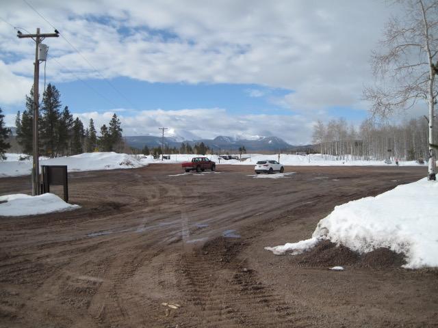
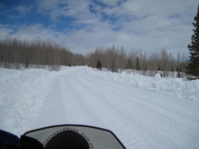
Although the trail head has melted out, the conditions are still decent with great coverage and grooming should continue for the time being.
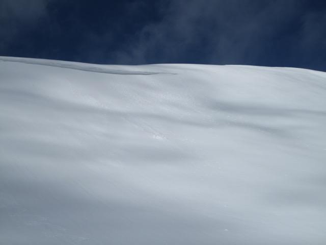
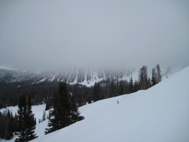
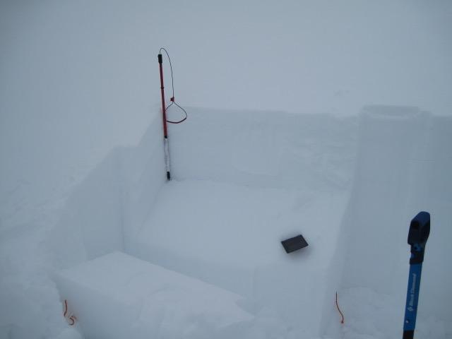
1. Not much going on with the snow pack right now, as Craig mentioned, things are pretty well glued in place. Just some very minor wet roller balls on east and south facing slopes. 2. Weather today started out with some sunshine, but clouds moved in for the afternoon.
Something to make note of anytime you get a crack to propagate across a column of snow. This took several hard blows from the shoulder before it failed roughly 12 -16" down form the snow surface. The weak layer looked like some preserved low density snow and would imagine this should heal itself with continued warm weather and time.
Today's Observed Danger Rating
Low
Tomorrows Estimated Danger Rating
Moderate
Coordinates