Observation Date
3/10/2019
Observer Name
John Pikus
Region
Skyline » Canal Creek » Horseshoe Mountain
Location Name or Route
Canal Canyon to Horseshoe Mountain
Comments
Toured from Canal Canyon to the summit of Horseshoe, traveling over slopes of all aspects but predominantly west, north, and northeast. Elevations from 6,800 to 11,000. Excellent ski conditions down to 8,000 feet and no major instabilities were observed. I did get a decent look at the Little Horseshoe bowl, one small crown line was visible (see photo below.) Tried to get a look into the Big Horseshoe but cornices and low visibility prevented me from getting a really good look. South facing did get a little crusty today at around 9,000 feet. Snow was getting wet and sloppy during my exit on the canyon floor, at elevations below 8,000 feet (around 4pm.) No wet avalanche activity or rollerballs were visible though.
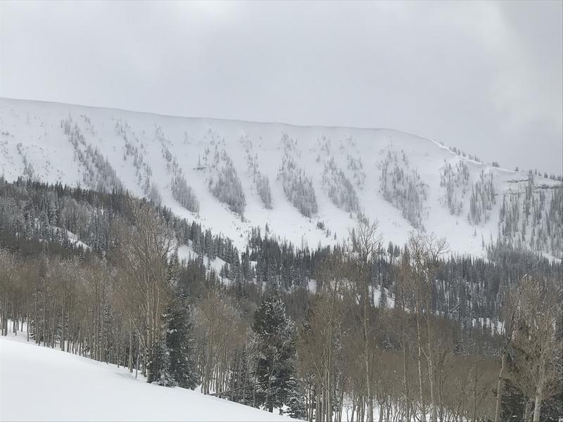
Photos 1&2: The Little Horsehoe Bowl. Arrow points to crown line but it is hard to see in photo. I'm guessing it was either a windslab during the storm or just part of an old crown line that hasn't completely been filled in yet. No new debris piles were visible at the base so I'm guessing that nothing major came down here during this storm cycle.
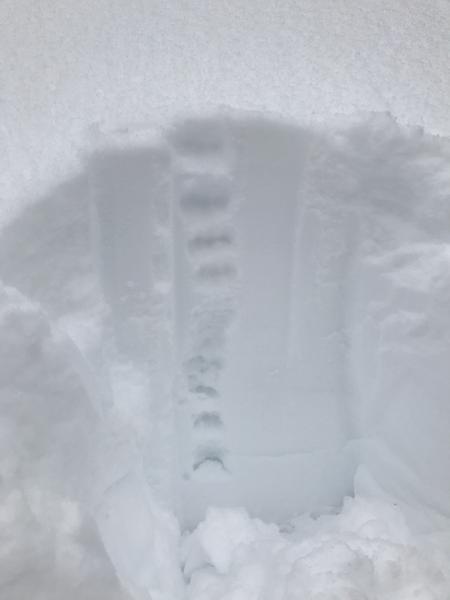
Photo 3: Quick pit I dug, West facing, 10,100 ft, 35 degree slope angle. Looks like most density inversions within the storm snow have settled out. Still seems like density is a little lower at the bottom of the storm snow but I don't think this is a major problem. Did do a quick compression test, got a result of CTM15 on the interface between the old snow and the storm snow, about 30cm down.
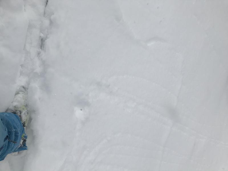
Photo 4: Shallow windslab that cracked out at my feet while skinning up. West facing, 10,600 elevation.
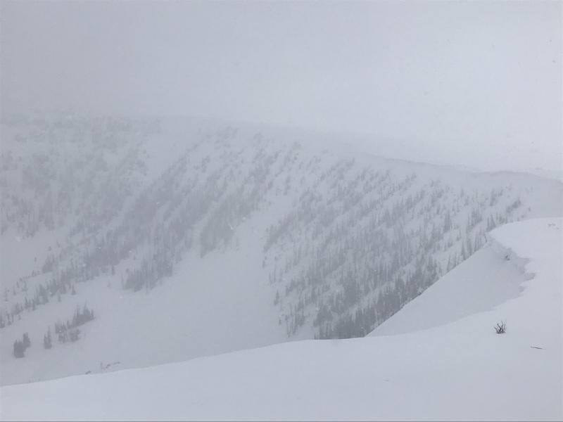
Photo 5: Looking into the Big Horseshoe Bowl.

Today's Observed Danger Rating
Moderate
Tomorrows Estimated Danger Rating
Moderate
Coordinates


