Observation Date
2/24/2019
Observer Name
Garcia/Grote
Region
Moab
Location Name or Route
Gold Basin/Tele Gold
Comments
Today we skied Tele Gold and this was a good chance to check out some of the recent avalanche activity. There was a series of crowns across the upper part of Tele Gold. It seems the slides that ran off Tuk No came over the cliffs and triggered a wind loaded area in Tele Gold. The debris ran all the way to the bottom where we usually hang out and put skins on. This snow profile was taken right at a crown that was about four feet deep. We dug all the way to the ground, and were shocked by the total depth of 330cm. I think this depth is influenced by the location directly below Tuk No/Gravel Pit. Previous avalanches have hit this slope this year and deposited snow. Also, a good amount of sluffing occurs off these slopes and deposits on Tele Gold. Furthermore, this slope has seen heavy wind loading the past two weeks. All of these factors have resulted in super deep snow at the site of this crown. Because of this, this snow profile is not representative of places most people would be skiing. The take home point from this profile is to see the structure of the slab, weak layer, and bed surface of the recent avalanche in Tele Gold. The slab itself is stiff, definitely a hard slab/wind slab containing 1 Finger to Pencil hard snow. The avalanche ran on a very thin layer of facets. The weak layer did not immediately stick out, but we were able to identify a thin layer of 1mm facets on the bed surface.It is also important to note the bottom of the snowpack in this location had a significant amount of vegetation. The open air space around the vegetation caused facets to grow from 90cm down to the ground. This looks shocking in the snow profile graphic, but I would not expect to find this structure on similar slopes. To get a better idea of the size/location of this avalanche check out the photos in Eric's forecast.
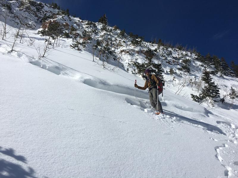
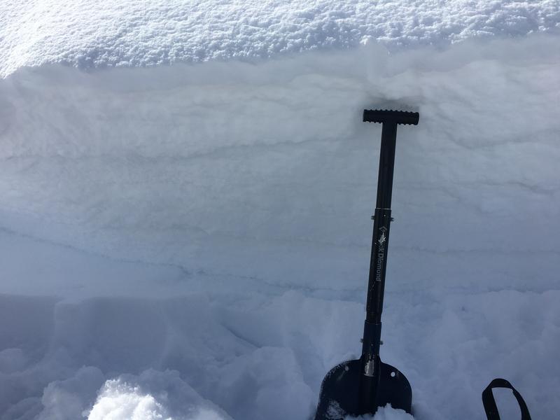
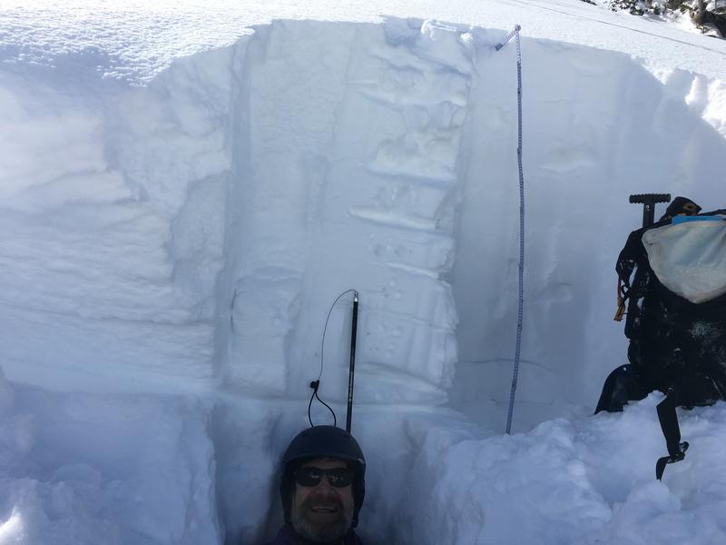
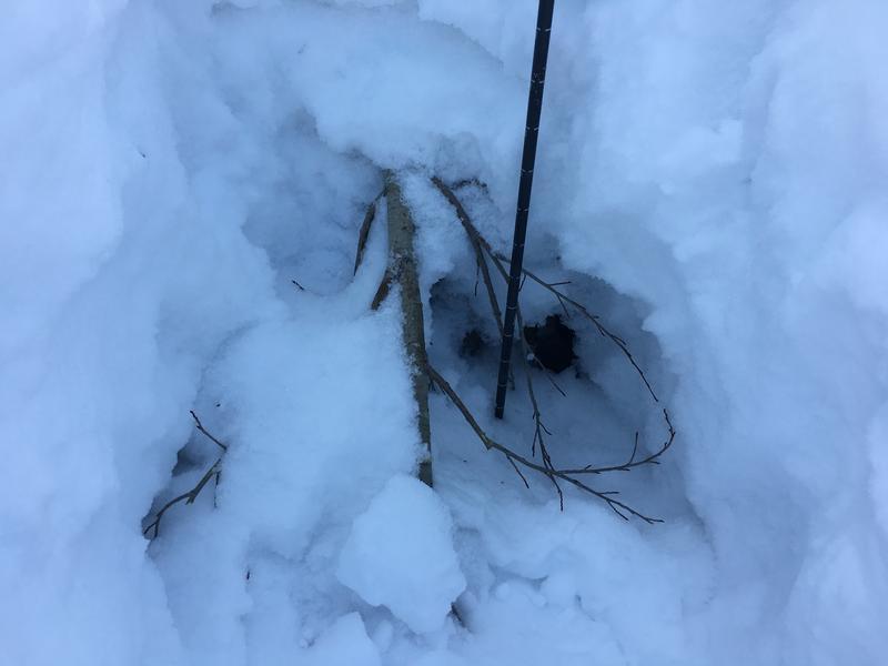
Photo 1: Ed standing by the crown where we dug. Photo 2: Shovel for size reference. Photo 3: My pack is on the bed surface, the slab is everything above Ed's head, he is standing in the pit (deep!). Photo 4: The vegetation in the bottom of the pit, and the reason for the facets from 90cm to the ground.
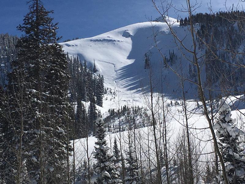
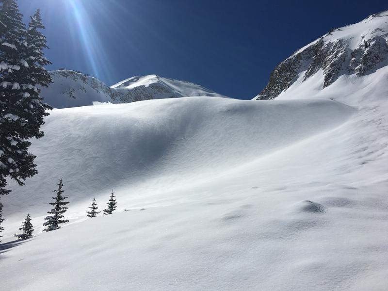
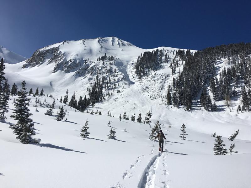
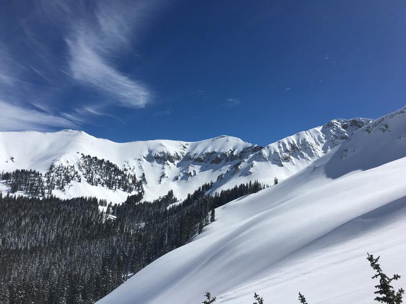
Photo 1: A recent avalanche in Exxon's. The depth looks very similar to the other recent slides in this cycle. Photo 2: An obviously wind loaded slope that we avoided. Photo 3 + 4: A couple scenic shots.
Out of the wind zone I think there is a moderate danger of triggering an avalanche on a persistent weak layer.
Today's Observed Danger Rating
Moderate
Tomorrows Estimated Danger Rating
Moderate


