Observation Date
2/19/2019
Observer Name
Dave Garcia
Region
Moab
Location Name or Route
Julie's/North Woods
Weather
Sky
Obscured
Precipitation
Light Snowfall
Wind Speed
Calm
Weather Comments
Cold temperatures the last few days have kept the snow in great shape. Single digits and low teens yesterday and today. On Monday moderate winds were blowing out of the South and transporting snow. Today winds were calm. Light snow was falling off and on Monday and Tuesday.
Snow Characteristics
New Snow Depth
3"
New Snow Density
Low
Snow Surface Conditions
Powder
Snow Characteristics Comments
Three inches accumulated on the skin track last night. 8 inches in the last 48 hours. Over two feet in the past week. The latest round of snow is low density and came with cold temperatures. Skiing in sheltered terrain is excellent right now.
Red Flags
Red Flags
Wind Loading
Poor Snowpack Structure
Red Flags Comments
Wind loading remains the biggest red flag right now. Today was the first day in a long time that winds haven't been blowing. All the recent wind drifted snow will need a few days to settle out. Poor snowpack structure still exists on most aspects/elevations.
Avalanche Problem #1
Problem
Wind Slab
Trend
Same
Problem #1 Comments
Winds finally calmed down today. Wind drifted snow will still remain an issue for the next little while. We've been skiing in sheltered terrain all week with all the new snow and wind. If venturing out of the trees I would expect to find sensitive wind drifts on most terrain above tree line.
Avalanche Problem #2
Problem
Persistent Weak Layer
Trend
Same
Problem #2 Comments
The latest round of snow and wind has put a good load on buried persistent weak layers. Over the last few days there has been the occasional window to look into bigger terrain. Avalanche activity has been limited to small pockets, most likely triggered by wind loading. Today we had decent visibility looking at Exxon's, Noriega's, and Tuk No. No recent activity to report on there. I encountered a group of snowmobilers at the TH this afternoon that reported an unintentionally triggered avalanche on north facing terrain. I'm not sure about any details on that.
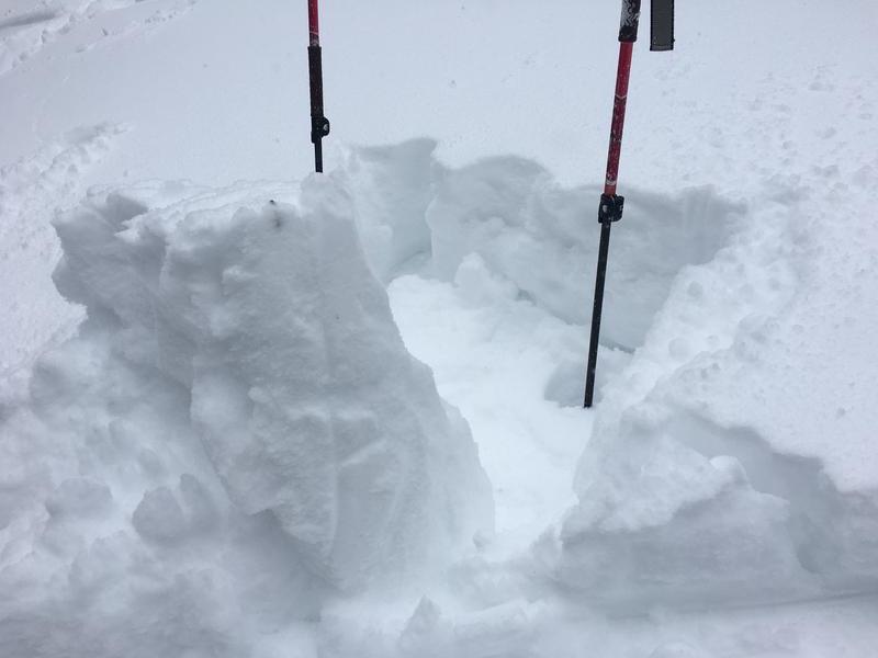
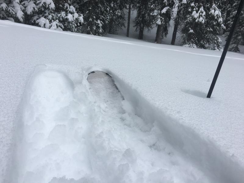
A quick hand shear from Monday. (This photo is appearing uspide down no matter what I do.) However, you can still see the block that pulled out. This is a West aspect at mid elevation in the North Woods area. This block pulled out with an easy shear. I wasn't expecting the storm snow to be this cohesive, I expected it to just fall apart. However, we did not encounter any cracking or collapsing in our travels around the North Woods and Julie's the past two days. I would expect any storm slab instabilities to be settled out tomorrow. Second photo is ski penetration.
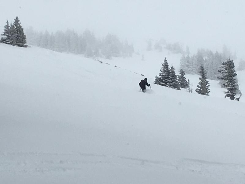
And a little bit of stoke. Skiing is good right now.
Considerable danger in the wind zone. Otherwise moderate.
Today's Observed Danger Rating
Considerable
Tomorrows Estimated Danger Rating
Moderate