
Observation Date
2/16/2019
Observer Name
Charlie Ramser
Region
Moab
Location Name or Route
Laurel Highway
Comments
On our ski today I only poked around in the top ~40 cm of the snowpack and above. The most noticeable thing going on is the different density snow from the last few storms. Despite the obvious density changes, the snow was not very sensitive especially if you compared it to the January 20 storm cycles.
Everything I observed was below treeline. Seems like a whole different story up high, but a story I can't tell at all. The Funnel was wind loaded and wind damaged, as well as all the exposed slopes on the other side of Gold Basin.
There were three layers of recent snow that sit on top of a crust and older snow. The first is about 6 cm of new low density snow. Second is 6 cm of Thursday's high density/wet snow. Third is more low density snow of about 10 cm.
Breaking trail was a little punchy, but was not generating cracking or collapsing. Also, on our skin track (now on NW aspect) I did a couple hand shear tests in the top 50 cm of the snow. These did not produce much, my hand moved through the snow and a cohesive slab was lacking. This top portion of the snowpack felt pretty well set up.
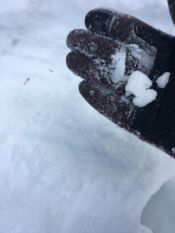
On the trees I noticed a rime, surface hoar combo. And I also observed rime deposits on south aspect on top of the dense Thursday snow. See photo.
Seems like we are stuck in the considerable range for a while more while the December near surface facets stabilize. As for the south half of the compass below treeline, moderate and trending towards low, depending on how the next storm comes in.
Today's Observed Danger Rating
Considerable
Tomorrows Estimated Danger Rating
Considerable
Coordinates


