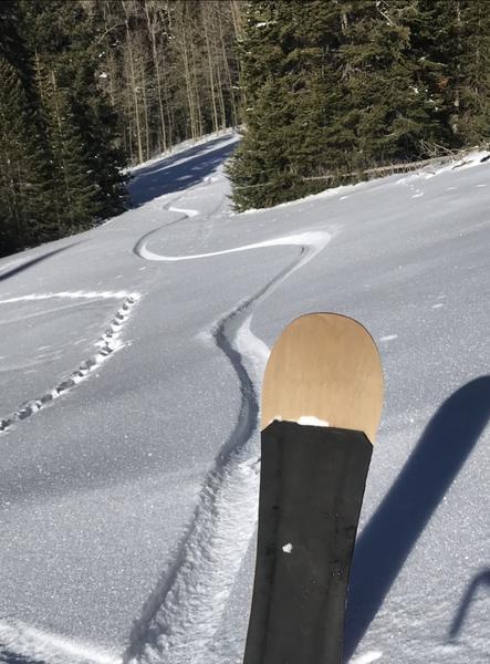
Went up today for a quick pow surf mission. Low angle low hanging fruit. Just above the Geyser Pass and Gold Basin road fork at an elevation of 10,100 feet on a NW aspect I didn't see any PWL instabilites in the snowpack. Simple because there wasn't a slab on top of the faceted snowpack. I was in this same area a week and a half ago. Just before the last round of snowfall. The snowpack is deeper, but it's still still quite shallow. 65 cm was the deepest area I could find, and that was in the shade. Last week in the same area there was a pretty stout crust just below the surface which is now about mid pack. Today this crust was much softer and is breaking down and becoming faceted.
With such a shallow snowpack this will soon be completely faceted. Which could prove to be problematic once another load or wind event puts a slab on top of it. Steeper terrain with more exposure to the wind in similar elevations likely has strong over weak structure. While elevations above 11,000 that received greater amounts of snow and wind from the last storm with a NW-N-E aspect certainly have a strong over weak structure.
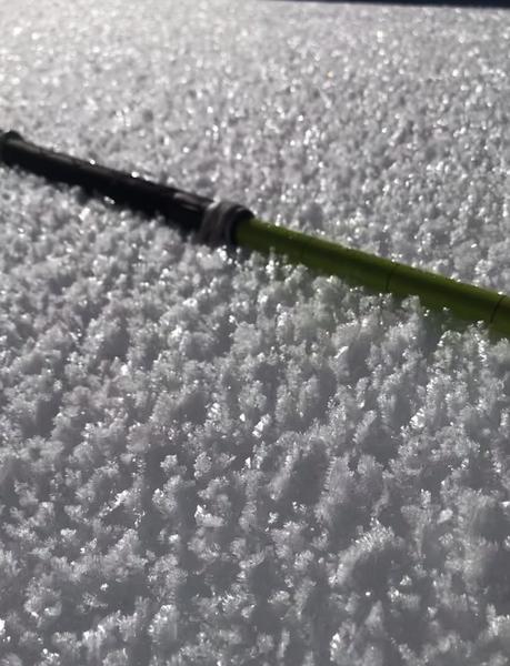
Noted lots of surface hoar while traveling today. From 7,500 - 10,100 where I topped out. With no wind today and on sheltered from the sun aspects this could be something to consider if it gets buried before it blows over or melts out.