Observation Date
11/30/2018
Observer Name
Andrew Nassetta / Bo Torrey
Region
Salt Lake » Park City Ridgeline
Location Name or Route
PC Ridgeline
Comments
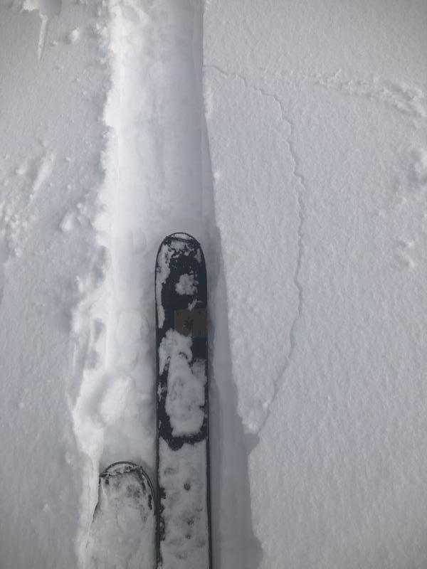
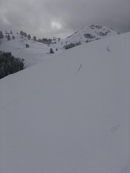
Throughout our travel today we experienced widespread cracking and collapsing. Small test slopes provided good beta throughout the day for what the bigger picture has in store. From the collapses, poor snowpack structure, and cracking at our skis on the skin track and larger fractures, such as the ones in the image below (see South Monitor avalanche report 11/31/18) confirm the high avalanche danger forecasted on the north side of the compass . The persistent weak layer we are dealing with is hanging around -- make a point to not travel on, under, or connected to slopes greater than 30 degrees.
Video
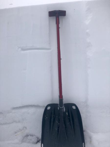
The image below highlights major layers in this seasons snowpack. Take notice to the most recent storms snow in the upper third along with the Thanksgiving week just below that.
Although these recent storms have provided a great base for skiing, riding and the season to come the foundation of the snow pack is very weak and sugary on northern aspects (persistent weak layer).
The good news, aside from the great skiing and riding on low angle slopes and southern aspects, is that cold temperatures and an active storm pattern have provided for great exits out of these same areas.
Today's Observed Danger Rating
High
Tomorrows Estimated Danger Rating
High
Coordinates


