Observation: White Pine

Observation Date
3/29/2018
Observer Name
Greg Gagne / Bob Frey
Region
Salt Lake » Little Cottonwood Canyon » White Pine
Location Name or Route
White Pine/White Baldy
Weather
Sky
Broken
Wind Direction
Northwest
Wind Speed
Moderate
Weather Comments
Winds were sustained and Moderate along ridgelines, and gusty well down off of ridges. Despite the winds, no transport noted at all.
Snow Characteristics
Snow Surface Conditions
Dense Loose
Wind Crust
Melt-Freeze Crust
Damp
Snow Characteristics Comments

Significant wind affected snow above 9000', although patches of soft snow can still be found in sheltered terrain. What appears to be a thin rime crust fund on some northwest aspects in upper White Pine. Rain event from 3/22 seems to have affected snow up to 9800' in White Pine, with a 10-15 cm solid crust up to about 10,000'.

We exited the canyon at 1200 and were only finding damp snow at the White Pine TH. Otherwise all snow on all aspects we encountered was dry.

Comments

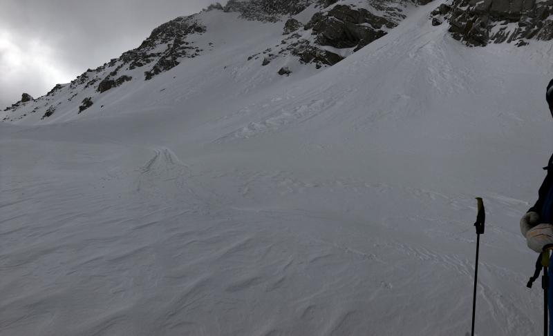
Got up to 11,000' today and primarily looking at sensitivity of recent wind drifts, especially considering there was a skier-triggered wind slab on Wednesday. Although we did find quite a bit of wind-affect snow, there were only pockets of pencil-hard slabs up to 5-15 cms (2-6") thick and not responsive to any stability tests. At most these would only crack right around your skis.

Any sensitivities from Wednesday seemed to have settled out and overall Low hazard today.

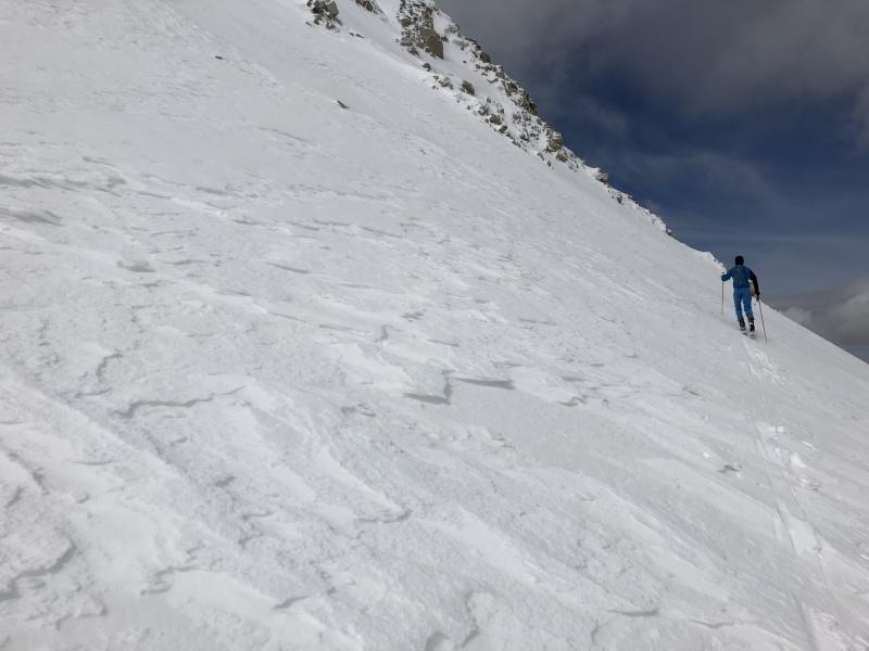
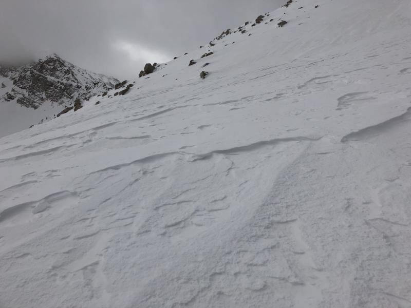
Photos showing widespread sastrugi (wind-eroded snow) in the alpine zones.

Despite the wind-affected snow, travel is still excellent and it's a great time to be in the alpine with a solid, supportable snowpack that makes for easy travel conditions.

Only concern is the 3/22 rain crust that can be found below 10,000'. In some places, this crust is sitting underneath pockets of wind drifts, or a shallow (5-10 cm) layer of dense snow that is not bonded well to the crust. Ski crampons and/or a whippet may be welcome if you choose to ride steeper terrain.

Today's Observed Danger Rating
Low
Tomorrows Estimated Danger Rating
Low