10" sitting on top of a 10" thick pencil hard crust. Underlain by 6" of loose wet facets or forms formally known as facets.
Photos below:
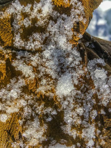
1. Wet facets
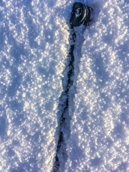
2 & 3. Graupel surface, there is also some facets which do not show up well.
Photos below:
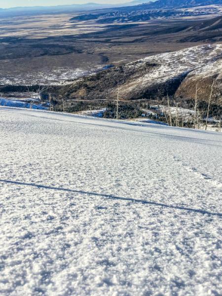
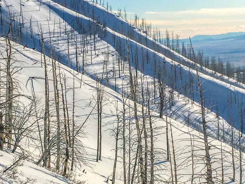
1. Terrain at 8,200'. I avoided the slope on lookers left, this slope is a bit over 35 degrees and has facets at the base of the snow pack similar to what is being reported at skyline. The last two winters I was able to ski this slope at will by this time of the year. This year I am not going near it right now.
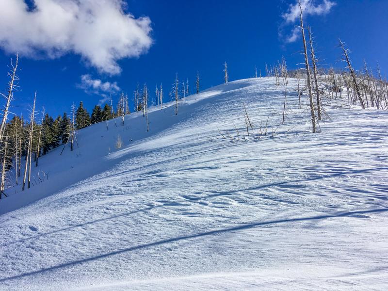
2. Todays terrain, new snow over a solid crust, a safer alternative.
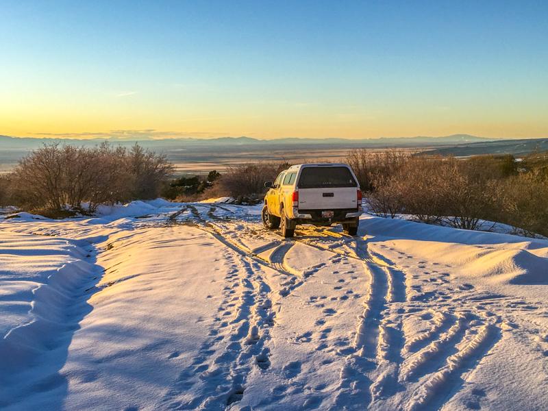
3. Trailhead conditions, yesterday we were skiing on this road.
I would call The hazard in the NW facing terrain, where underlain by the solid crust moderate.
I would call the hazard considerable on steep north facing slopes above 8,000'.