Observation: Pahvant Range

Observation Date
2/19/2018
Observer Name
Toddeo
Region
Southwest » Pahvant Range
Location Name or Route
Pahvant Foothills - Chalk Creek Road
Weather
Sky
Obscured
Precipitation
Heavy Snowfall
Wind Direction
West
Wind Speed
Moderate
Weather Comments
A real storm! Started aboout 2 am and is just letting up late afternoon.
Snow Characteristics
New Snow Depth
12"
New Snow Density
Low
Snow Surface Conditions
Powder
Snow Characteristics Comments

About 12-14" in town (5050') evenly distributed in the valley and at the higher elevations. It was snowing at least an inch to inch and a half an hour this morning in town. It was actualy hard to follow my track back down the Chalk Creek Road due to high PI and wind.

Pine Creek snotel is showing an inch of water, others including the Tushers and Brain Head area are coming in at about 0.5 - 0.6" or so.

Varied forms shown in the video below.

Red Flags
Red Flags
Heavy Snowfall
Wind Loading
Poor Snowpack Structure
Red Flags Comments
High PI rates most of the day. wind drifting down to the lower elevations. Poor snowpack structure as observed througout SW Utah this week. I was generally not able to isolate the new snow in most attempts. When I did it was easy to hand/pole shear on the underlaying crust. I think the combination warrents a high danger for tomorrow.
Avalanche Problem #1
Problem
New Snow
Trend
Same
Problem #1 Comments

Storm snow sitting on top of weaker snow.

High hazard.

Avalanche Problem #2
Problem
Persistent Weak Layer
Trend
Same
Problem #2 Comments

Added weight sitting on a weak mid pack and basal facets.

High danger especially in wind loaded areas and areas receiving close to an inch of water.

Snow Profile
Aspect
North
Elevation
6,200'
Slope Angle
35°
Comments

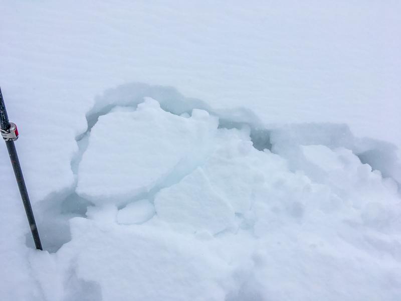
HST 12" sitting on a melt-freeze crust. This is the crust that has made travel possible in the mid elevations of the Pahvants. Hard to isolate and where I was able to isolate, it was easy to shear. This tells me that caution is warranted in the lower elevations, such as exits from high terrain.

There is also a density inversion within the new snow, columns break/shear easily. This may be related to an impulse of low density stellers that fell this morning. I would imagine that this will settle out.

Photos below:

1. ECTPV, 35 degree slope.

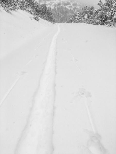
2. Slow day in the Pahvants.

3. Video of forms including rimed dendrites.

Video

Based on what I saw today and preexisting snow this week from the Brian Head area north to to Skyline, I think a High Danger is warranted. Conditions in SW Utah are similar to the conditions described for the Skyline forecast.

If anyone wants to get in touch with me about snow/avalanche questions in SW Utah, I can be reached at [email protected]. I would be happy to walk anyone through the observation process. All observations are appreciated.

Today's Observed Danger Rating
High
Tomorrows Estimated Danger Rating
High