Sign Up for the Utah Snow and Avalanche Workshop (USAW) on December 7th!

Observation: Pahvant Range

Observation Date
12/10/2017
Observer Name
Toddeo
Region
Southwest » Pahvant Range
Location Name or Route
Pahvants - Copleys and Mountain Sheep Canyons
Weather
Sky
Clear
Wind Speed
Calm
Weather Comments
Warm Day up high, inversion is setting in.
Snow Characteristics
Snow Surface Conditions
Faceted Loose
Snow Characteristics Comments

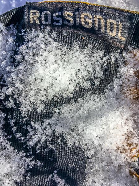
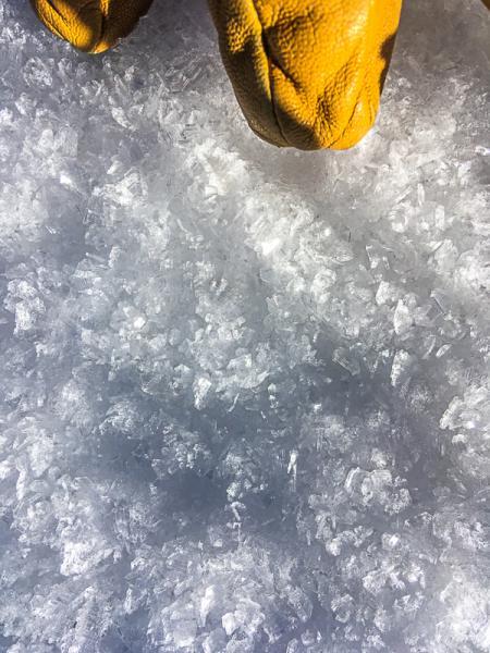
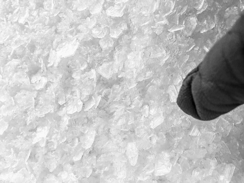
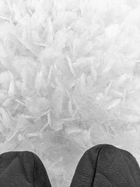
Surface facets, photos below. Also we may need to add dirt to the list.

Red Flags
Red Flags Comments
Red flags are future. I went to this area to get a look into upper Copleys and Mountain Sheep Canyons. Norths are covered in a thin layer of snow which is capped with facets and feathers. Snow in may areas seems to be composed of a Styrofoam like agglomeration of facets. Once again I was pondering just how much snow is required to: 1. Initiate a collapse, 2. Propagate the collapse, and 3. Form a bed surface among all the brush and trees which may form anchors. I am not sure of the answers.
Avalanche Problem #1
Trend
Same
Problem #1 Comments

None at this time.

Comments

Photos below:

1. Terrain, needs bit more snow.

2. Facets, NW aspect at 8,500'

3. Surface Hoar NW aspect. 8,500'

4. Surface Hoar, NW aspect 8,000'

5. Feathers, 7.500'
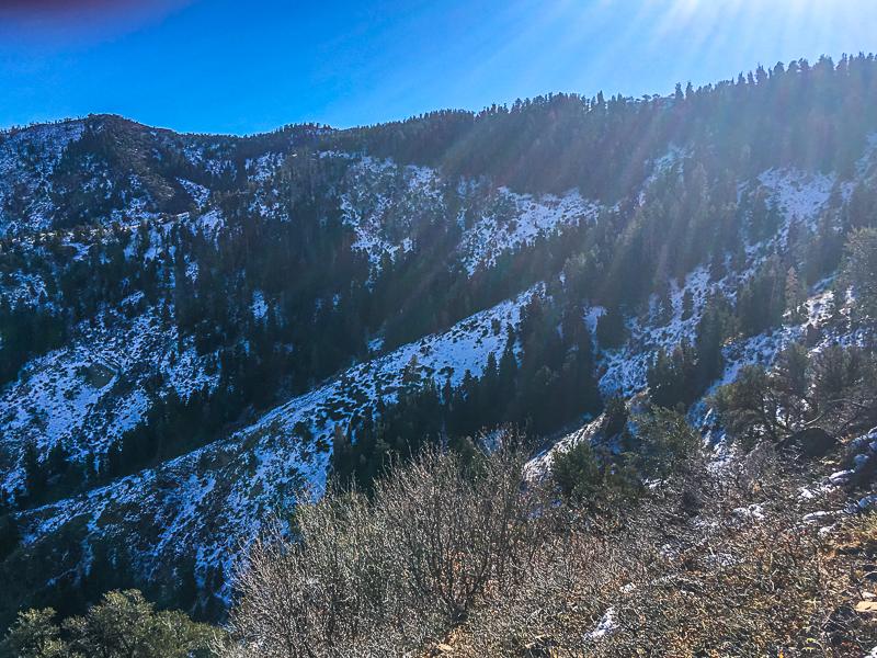
Photo below:

Bare south aspects, at least this kid still gets to get out, he is genetically denied deep powder days. The Elk are still in the upper elevations.
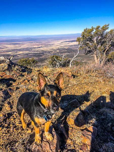
Still a waiting game, I do not like the current surface conditions. On a positive note, I am not sure if there is enough snow in many of the starting zones to create a hazard but this remains to be seen.

The Tushers still look dry and the Brian head area is looking a bit whiter.

Today's Observed Danger Rating
Low
Tomorrows Estimated Danger Rating
None