Our Fall Auction is LIVE! Support avalanche forecasting by bidding TODAY! Ends Sept 26th.

Observation: Upper Weber Canyon

Observation Date
2/23/2017
Observer Name
Kikkert
Region
Uintas » Upper Weber Canyon
Location Name or Route
Upper Weber Canyon
Weather
Sky
Overcast
Precipitation
Heavy Snowfall
Wind Direction
Northwest
Wind Speed
Light
Weather Comments
Light snow in the early morning, becoming quite heavy in the afternoon hours, with rates around or bit more than 2" per hour. Winds were still generally light, but a tad stronger than yesterday.
Snow Characteristics
New Snow Depth
13"
New Snow Density
Low
Snow Surface Conditions
Powder
Snow Characteristics Comments

There was 5" this morning from overnight with 0..3" of water. There was 8 additional inches during the day today, with 0.4" water, with most of that coming in the afternoon. Except where wind effected, it was super light density blower pow.

Red Flags
Red Flags
Heavy Snowfall
Red Flags Comments
Lots of shallow slabs in the afternoon during high PI rates.
Avalanche Problem #1
Problem
Wind Drifted Snow
Problem #1 Comments

Was noticing very shallow wind slabs in terrain above 10K this morning, 3-4" deep. They were quite sensitive, but not running really far and were very soft and shallow. Expect these will settle out fairly quickly, but there is tons more light density snow out there to form shallow slabs if the winds pick up again.

Avalanche Problem #2
Problem
New Snow
Problem #2 Comments

Lots of shallow soft slabs in the afternoon during the high PI rates, both human triggered and natural. Mostly 4-6" deep. Very manageable in the right terrain. See photos below.

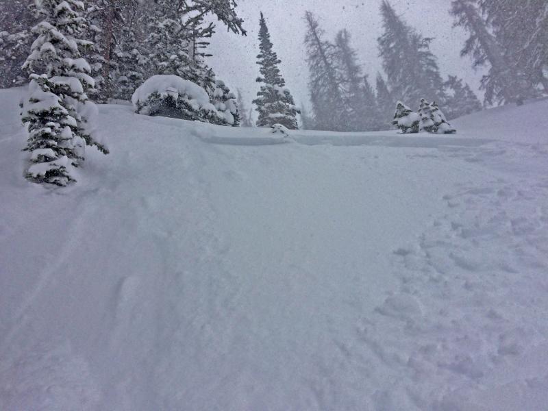
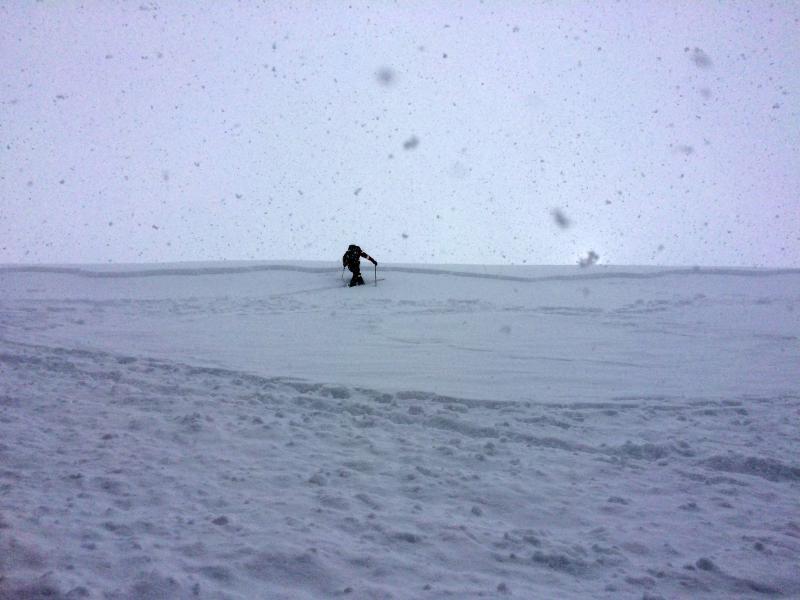
Would say in the morning we had a mostly moderate hazard, bumping up to considerable for a period during the high PI rates in the afternoon.

Today's Observed Danger Rating
Considerable
Tomorrows Estimated Danger Rating
Moderate