Observation: Moab

Observation Date
1/28/2017
Observer Name
R. Kennard
Region
Moab
Location Name or Route
Gold Knob
Weather
Sky
Clear
Wind Direction
Northwest
Wind Speed
Light
Weather Comments
Amazing Blue bird day out in the north group today. Winds stayed light during the middle part of the day while we were above treeline. Temps were in the low 20's but the the sun made it feel much warmer while we were on the south faces. On our drive up in the morning we could see plenty of snow being transported from the north faces back onto the south faces of the high peaks.
Snow Characteristics
Snow Surface Conditions
Powder
Wind Crust
Damp
Snow Characteristics Comments

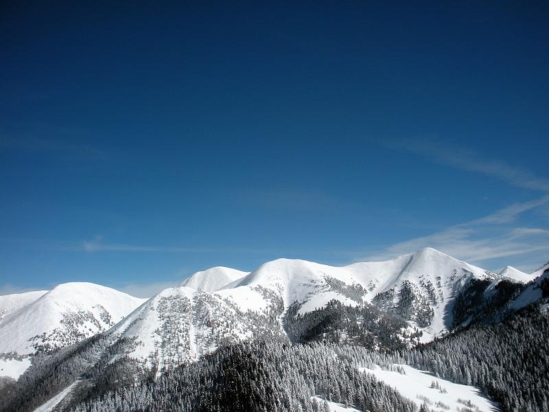
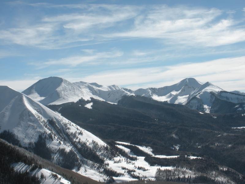
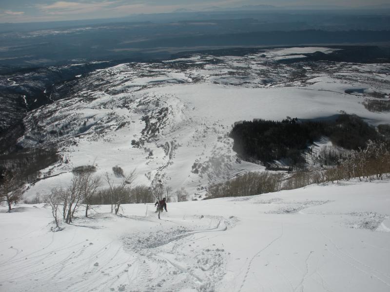
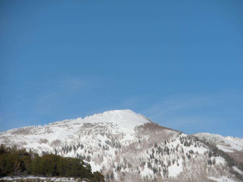
We found a wide range of snow on our tour today as we headed up the southwest side of Gold Knob. We started around 8,000 feet where the snow was still soft and powdery in the sheltered aspen trees with an average depth of 24". Above 9,000 feet we found an average depth of about 48" with good powder in sheltered areas and soft wind slabs in areas that were moderately exposed. At this elevation I also found 8-10" of settled powder on top of a one inch crust, maybe melt freeze, and then a layer of small facets below that. By the time we hit the 10,000 foot mark the snow was 5' plus and it was harder to find the faceted layer with pole probes. We skied the south east bowl from the 11,000 foot summit and found some wind crust, settled powder and some damp snow once we skied into the aspens. On our skin back to the top we found more wet snow and some "drummy" areas of wind slab on the lee side of the ridge. On the ski back to the car we took the southwest ridge and found good settled powder in the trees and some damp snow out in the open where the sun had been at work all day. We sent some roller balls down as we were skiing but none looked like they picked up a significant amount of snow as the went.

Red Flags
Red Flags
Wind Loading
Poor Snowpack Structure
Red Flags Comments
We saw plenty of evidence of wind loading as we traveled the ridge. Some decent cornices had formed above 10,000' along the ridge. We encounter some buried facets lower down in elevation, but they were not apparent above 10,000'.
Avalanche Problem #1
Problem
Wind Drifted Snow
Trend
Same
Problem #1 Comments

We had some significant southwest winds with our last storm with gust in the upper 70's, followed by by some heavy north winds yesterday and today with some impressive snow transport visible from town. I would be cautious of steep areas of wind drifted snow until the snow pack has time to adjust to its new load. Remember that most of this snow is sitting on top of some weak layers further down in the snow pack. We saw signs of natural releases on most of the north faces, most likely from wind loading during the last storm.

Avalanche Problem #2
Problem
Persistent Weak Layer
Trend
Same
Problem #2 Comments

Their are still facets lurking under the new snow. It would be prudent to give the snow pack some time to adjust to the new weight it received earlier in the week. I would also keep the idea of wet slide in the back of your mind for the next day or two if you are thinking of skiing anything that receives consistent sun. On our way out today it felt like the new snow was becoming more cohesive on the southwest as the sun warmed it.

The North Group of the La Sals from the top of Gold Knob

The high peaks of the La Sals from the top of Gold Knob

Travis skiing the Southwest ridge

Today's Observed Danger Rating
Moderate
Tomorrows Estimated Danger Rating
Moderate