Sign Up for the Utah Snow and Avalanche Workshop (USAW) on December 7th!

Observation: Maple Hollow

Observation Date
12/18/2016
Observer Name
Toddeo
Region
Southwest » Pahvant Range » Maple Hollow
Location Name or Route
Pahvants - Maple Hollow
Weather
Sky
Clear
Wind Speed
Calm
Weather Comments
Cold! Finally warmed up enough to break trail without a jacket in the afternoon sun.
Snow Characteristics
New Snow Depth
12"
New Snow Density
Medium
Snow Surface Conditions
Powder
Snow Characteristics Comments

About a foot of settled snow above 8000', The new snow is sitting on a firm crust making for easy travel and keeping one off of shallow obstacles.

Red Flags
Red Flags
Wind Loading
Red Flags Comments
Sluffing of the new snow in steep terrain, minor. The new snow is weakening quickly due to the cold temps. Minor wind loading on the ridgetops. Overall a moderate danger due to the wind loading.
Avalanche Problem #1
Problem
Normal Caution
Trend
Same
Problem #1 Comments

Normal caution for a thin early season snow pack. Sluffs may run further and faster than expected.

Snow Profile
Aspect
Northeast
Elevation
9,100'
Slope Angle
20°

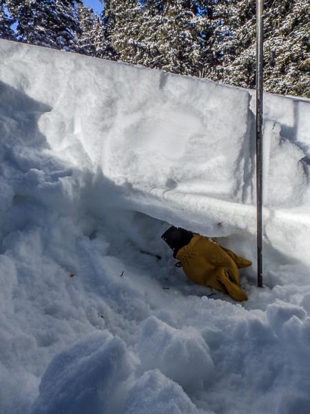
2 profiles HS ranges from 20 to 24".

The first profile is from a northeast aspect at 9100. The second, shallower, profile is from a more easterly aspect at 8800'.

Both contain about a foot of new snow sitting on a pencil hardness , supportable rain crust. The basal layer of the new snow consists of dense graupel. The basal snow is damp rounding sub millimeter facets.

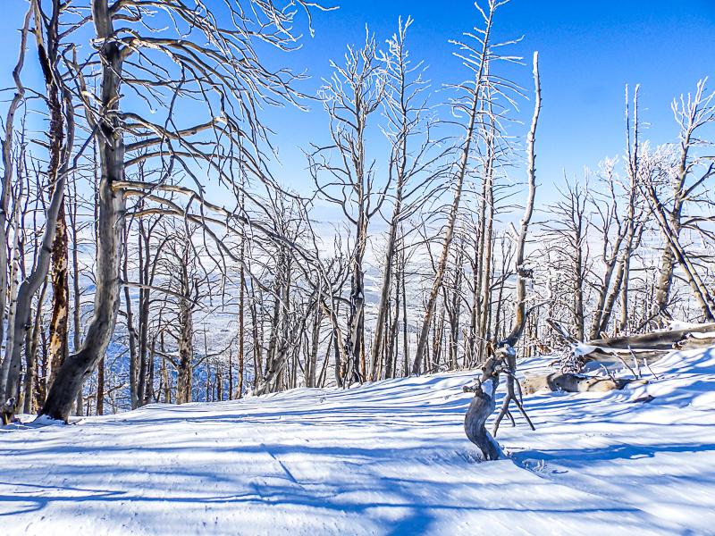
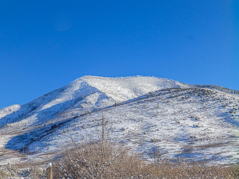
Photos below, taken on the Maple Hollow/ Johnson Canyon ridge at the top of the burn:

1st: Minor cornice formation, not sensitive.

2nd: Slight wind affect on the ridge.
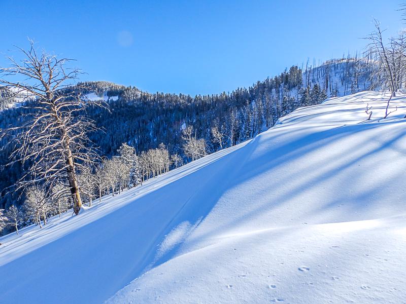
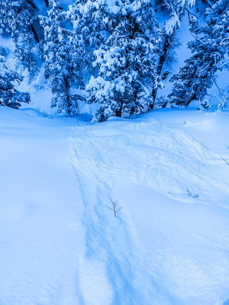
Photos below:

1st: Sluffing in steep terrain.

2nd: Profiles were taken on he backside of the uppermost ridge.
Today's Observed Danger Rating
Moderate
Tomorrows Estimated Danger Rating
Moderate
Coordinates