Observation Date
1/27/2016
Observer Name
Zimmerman-Wall/ National Avalanche School
Region
Salt Lake
Location Name or Route
Twin Lakes Pass
Weather
Sky
Clear
Wind Direction
Northwest
Wind Speed
Calm
Weather Comments
What a beautiful day to to be out in the mountains. The winds had backed off to barely a whisper and even along the highest ridgelines you could barely make out a northwest wind. The highlight was the instense sun and incoming solar radiation. I noticed the Cardiff station was showing greater than 500 watts/m2, which is quite intense for this time of year. You could definitely notice the heat on the southerlies and our group was lighlty dressed for most of the day. Our observed air temps in upper Grizzly measured around 4 degrees C (40F).
Snow Characteristics
Snow Surface Conditions
Faceted Loose
Melt-Freeze Crust
Damp
Snow Characteristics Comments
Working our way up the drainage we encoutered a variety of snow surface conditions. In the sheltered northerly facing terrain you could find settled cold snow that was showing some signs of Near surface faceting from the cold, clear nights. In the mid morning we observed a bit of a melt freeze crust on the solars from Tuesday that had some recystalized snow crystals on the surface. This crust had softened quite a bit by noon and the skiing on the SSW face off Fantasy ridge was a mushy/damp cream that was actually quite fun to ski. However, we didn't linger and we kept the slope angles right around 30 degrees to avoid any wet loose avalanches.
Red Flags
Red Flags
Recent Avalanches
Rapid Warming
Poor Snowpack Structure
Red Flags Comments
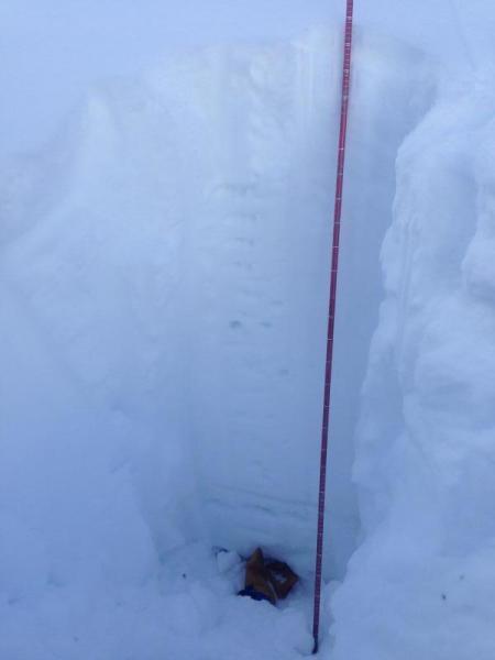
The core of the range (upper LCC) has an average HS of 175-200 cm of mostly right side up snowpack. We dug to the ground in several aspects and elevations and found some depth hoar (1mm) in the bottom 15cm that showed signs of rounding on North facing @ 9300 and damp basal facets on southerlies. These deeper weak layers were bridged by a stout mid pack slab (1f+ to P) with 40cm of settled storm snow on top. We did observe some Q2/Q3 failures in this upper 40cm of the pack, but they didn't propagate in ECTs. These failures were mainly on some sort of preserved stellars and decomposing fragments.
Avalanche Problem #1
Problem
Persistent Weak Layer
Trend
Same
Problem #1 Comments
To paraphrase Hardesty, this is one of the trickiest snowpacks in recent memory. There is certainly a multitude of weak layers throughout our range's snowpack, but the problems seem to be along the periphery of the Core (Upper LCC). Our observed terrain had some of these buried weak layers, but they were either quite deep (>150cm) or they were showing signs of healing and nothing really jumped out in our snowpack tests. Our DT and CT had hard results failing on the ground or within the layer of 1mm DH, but they were mostly Q3. Tried as we might, we could not find a consistent MF crust/Facet combo on South facing that would initiate, let alone propagate a fracture. However, I still know these layers are out there and it just takes the right location to trigger an unsurvivable avalanche. Il'll be keeping my terrain selections conservative for the foreseeable future.
Avalanche Problem #2
Problem
Wet Snow
Trend
Same
Problem #2 Comments
We watched one or two point releases initiate and turn into small wet loose slides that ran up 50 vertical feet. Not significant in and of themselves, but with the right slope angle and aspect, you could visualize their potential. Widespread wet activity from 1.26.16 was evident on solar aspects, especially below rock outcroppings.
Comments
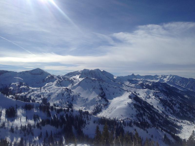
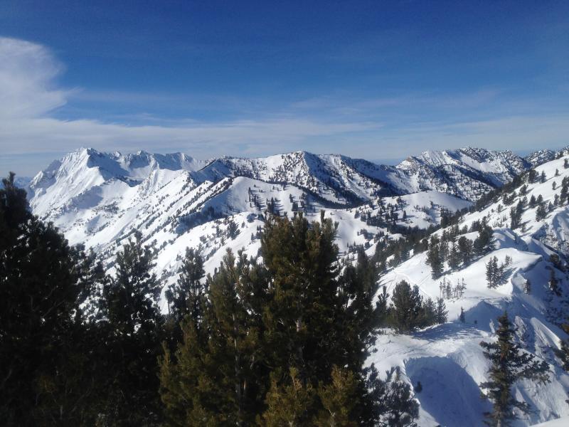
The photos below are of our hasty pit on a NNE slope @ 9300 just off the Grizzly Cat road, as well as views from the top of Twin Lakes Pass and Fantasy Ridge.
Today's Observed Danger Rating
Considerable
Tomorrows Estimated Danger Rating
Moderate