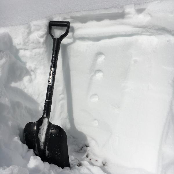
Below - Pencil hard wind slabs were very sensitive; they are sitting on unusually weak surface snow. Slabs were only about 2 to 8" deep, but every slab on every test slope cracked out. Shooting cracks to 20', or whatever full size on wind drift was. Small, but could be an issue in the wrong terrain - such as continuously steep or if they knocked you off balance above a cliff. Also of note is the weak surface snow went on to the ridge lines, so slabs were breaking back further than normal, on to the "flats".
This seems like unusually weak surface snow for the next storm to land on - increasing danger through the weekend in the storms add up as forecast.
Sluffing of the surface snow on steep, shady slopes continued out of wind affected terrain.
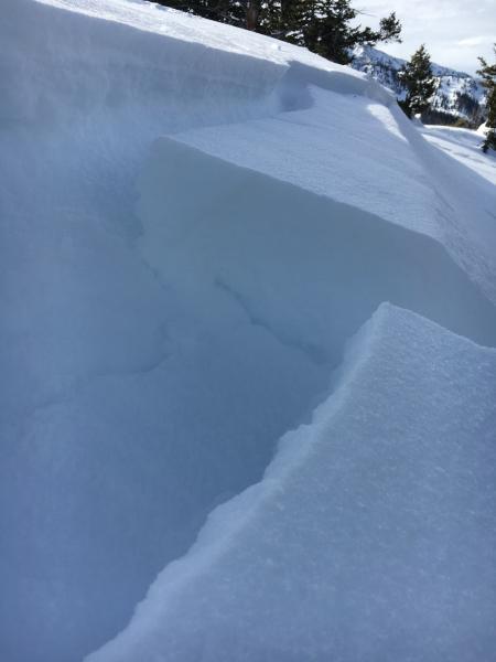
Below - cracking on NE facing slopes.

A look below at a slope that slid during Dec Christmas week avalanche cycle, NE, 9200'.
It seems many of the avalanches in the Dec avalanche cycle took out the slabs, but not the weak layer. The original November basal facets remain, and now have another layer of near surface facets on top. The current weak near surface facets aren't confined to places that slid - they seem very widespread on shady slopes at many elevations. Lowest elevation I looked at snow was at 6200', and it also had weak snow on a north facing slopes.
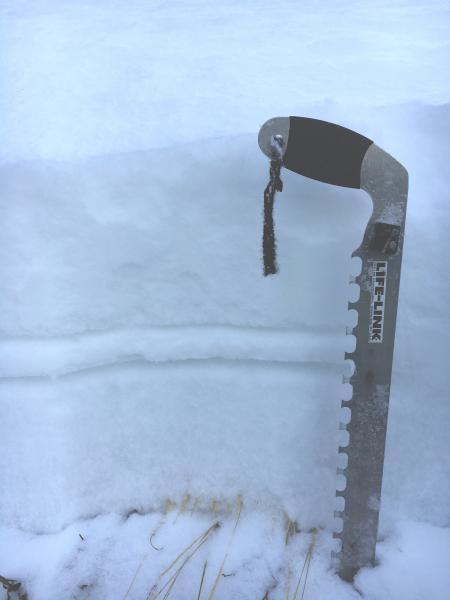

I looked at southwest facing slopes in a couple spots - this is about 9,600'. Any issues here seem confined to the upper pack - I'd expect poor bonding of the next storm to the slick surface sun crust, and once snow gets moving, it could entrain more snow down a continuously steep path. Long and fast runners possible with the next load. If a slide did break through to the facets beneath, there is another hard surface just below. Lower pack looked very strong.