Join us at our 2nd Annual Blizzard Ball

Observation: Electric Lake

Observation Date
12/19/2014
Observer Name
Darce Trotter / Steve Cote / Cody Hughes
Region
Skyline » Huntington Canyon » Electric Lake
Location Name or Route
Electric Lake
Weather
Sky
Clear
Wind Direction
Northwest
Weather Comments
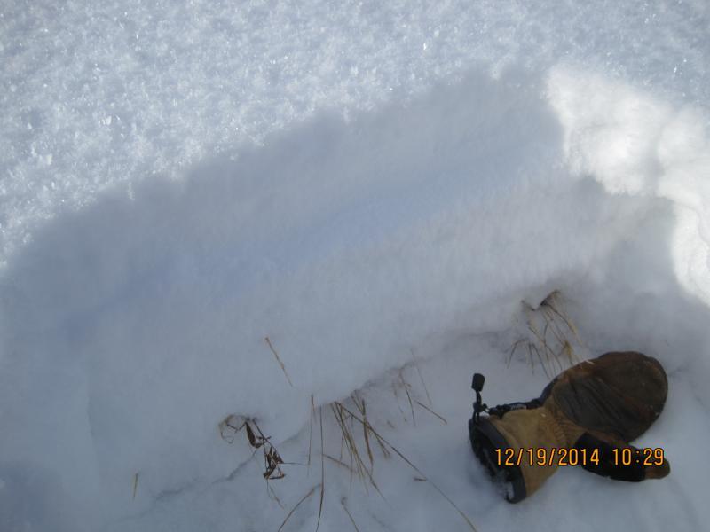
Surprising lack of wind lately, no real damage to last weekends snow, but shallow pack, low angle sun, despite more moderate temps have not settled out what little snow there is, but continue to weaken and facet entire pack in sheltered areas
Snow Characteristics
New Snow Depth
6"
New Snow Density
Low
Snow Surface Conditions
Powder
Faceted Loose
Snow Characteristics Comments

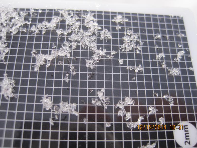
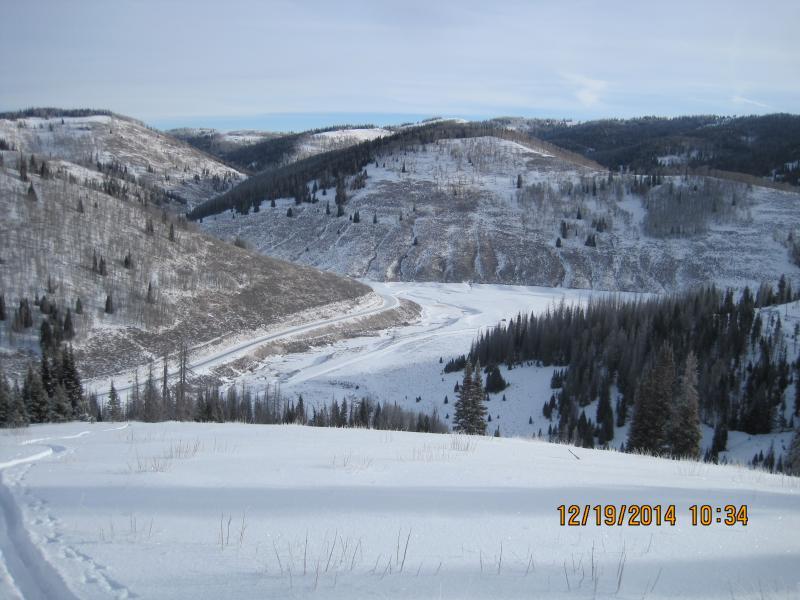
We purposely sought out very sheltered N facing snowpack to confirm what we already thought. Although temperatures have been on the moderate side, low angle sun and very shallow pack creates a strong enough gradient to continue to weaken the snow. We found a variety of crusts down 2"-4" and around 10" that seems to disappear once we got to very sheltered areas, but overall snow totals are 16" in undisturbed areas and have not gained much strength. While lower angle slopes and a little speed would allow boards and wider skis to float above it all, we do not think it would support snow machines, especially those with more aggressive tracks, you would churn down through the entire pack to the dirt/rocks/weeds before you could get enough purchase to climb or even traverse most areas. We have only added to smoothing over anchors with more depth and increased the likelihood of a widespread cycle once and if it really does snow.

Red Flags
Red Flags
Poor Snowpack Structure
Red Flags Comments
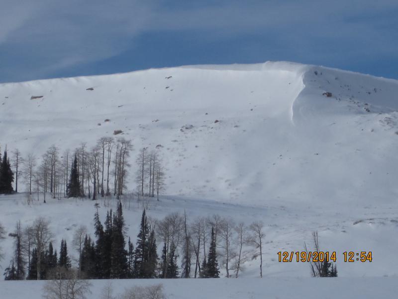
Translating this news to more extreme steep rocky north facing terrain does not take much imagination to figure out what the overall set up is and unfortunately give us conditions much like last year. Due to lack of wind with our last little stint of showers has capped NE through E facing windslabs with low density snow and surface hoar, another bad combo. While harmless now, combined with limited access, when winter does arrive, it will not take much to overload what is on the ground now, so if NW firehose forecast for Saturday night into Monday reaches this far south, we are set up for first widespread avi cycle of the year, if we continue to stay on the edge of active weather and slowly increase snowpack depth, the problem will not go away any time soon
Avalanche Problem #1
Problem
New Snow
Trend
Increasing Danger
Problem #1 Comments

When slabs do form with new snow, it will be over very weak foundation

Avalanche Problem #2
Problem
Wind Drifted Snow
Trend
Same
Problem #2 Comments

the biggest danger at this point are the deadfall, exposed rocks, and other terrain obstacles you will likely hit on anything but grassy lower angle slopes

Snow Profile
Aspect
North
Elevation
9,300'
Slope Angle
28°
Comments

small grained snow in strongest mid pack layer ( 4 finger) is not storing any energy, but continues to facet rather that settle and gain strength

Wind / heat crusts in more open areas still would not support skis/boards on uptrack or when skiing down

South facing still looking very thin

Some wind transport on Wedding Ring Ridge but not up to usual levels

Today's Observed Danger Rating
Low
Tomorrows Estimated Danger Rating
Low
Coordinates