Join us at our 2nd Annual Blizzard Ball

Observation: Skyline Summit

Observation Date
12/5/2014
Observer Name
Darce Trotter / Steve Cote
Region
Skyline » Huntington Canyon » Left Fork Huntington Canyon » Skyline Summit
Location Name or Route
Wedding Ring Ridge
Weather
Sky
Clear
Wind Direction
Northeast
Wind Speed
Calm
Weather Comments
very warm, little wind this AM, seems rain/snow line from convective type showers yesterday and earlier this week near 8800'
Snow Characteristics
New Snow Depth
1"
New Snow Density
Medium
Snow Surface Conditions
Powder
Wind Crust
Snow Characteristics Comments

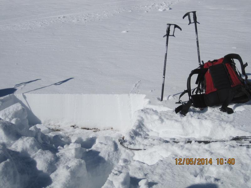
not much in the way of new snow in this area, think whitewash is about all, the rest the pack has settled on E aspects due to solar radiation, cornices are welded in place, below cornices very small grained snow exists in general depth of 12", as you approach flatter terrain immediately becomes punchy and unsupportable even on skis, older MF crusts beneath new coat of paint would collapse in localized areas, still hollow beneath, but snow at the ground has damped and overall this layer will not be much of a problem in the immediate future.

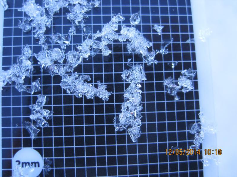
Sheltered N facing snow is still weak, will no support you on skis, shallow facet layer at the ground, still large but chaining together. The entire pack is < 12" overall, and the gradient still exists over such a short distance, but process is slowed and even reversing. This layer will be the player later as we finally get some snow. If it remains as warm as it has been, should compress and settle with added load, but if we turn off high, dry, and cold, the process will quickly revert back to faceting and weakening.

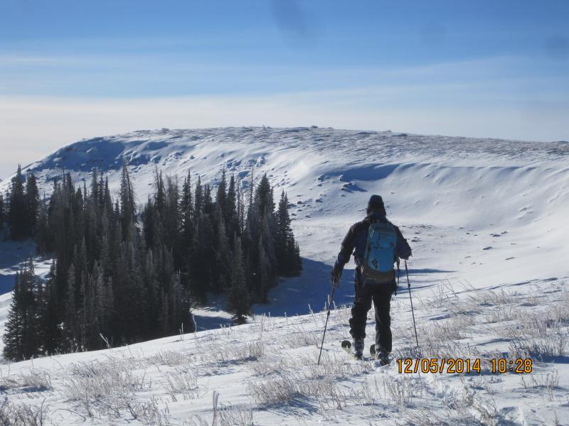
Pulled off a few turns on tired old windslabs but even that was limited, getting around is still a major issue with West facing bushes, dirt, and rocks with occasional patches of sastrugi, not inviting travel at this time. 30 CM of settled snow at MIllers Flat with evidence of rain/snow mix from the last "storm", leaving an ice layer on interval board.
Red Flags
Red Flags
Poor Snowpack Structure
Red Flags Comments
Skyline is more like Central Wasatch was in Oct/Nov only snow is even older, shallow, and just tired looking. N facing sheltered most likely to rot away if winter temps every return We chipped through wind slabs on edges of old cornices, 3'-4' thick making the tool of the day a snowsaw, not a shovel. Windslabs blown onto bare ground in some places and with warming are homogenous to the ground
Avalanche Problem #1
Problem
New Snow
Trend
Same
Problem #1 Comments

When it snows, and weather between then and now will determine how hazard develops.

Avalanche Problem #2
Problem #2 Comments

un supportable snow and shallow buried rocks, logs and stumps pretty easy to see and presently are the greatest threat

Snow Profile
Aspect
Northwest
Elevation
9,800'
Slope Angle
30°
Comments

North facing facets at the ground are chaining together but still pretty big and weak

Travel still limited to leeward slopes

East facing leeward snow wind compacted and very dense to the ground

Today's Observed Danger Rating
Low
Tomorrows Estimated Danger Rating
Low
Coordinates