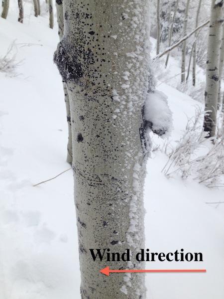
[This observation is relevant between 8000' and 9500'.]
Traveled throughout Mill D North today, chose this location for two reasons: (1) Lots of safe, low angled terrain, (2) traveled here on Saturday and wanted to see how the buried weak layers responded to dense snow from the past 36 hours. On Saturday I was finding the storm snow was not enough to overload weak layers < 9500' with CT and ECT scores 20+ and Q2+/Q3 shear quality. Different story today. Lots of quick pits and one detailed pit. Although I got only a few localized collapses, the new snow was cracking and on most test slopes > 35 degrees, I was unable to isolate a column. One pit on a slope approaching 35 degrees that did not fail upon isolation was CT 8-12 and ECTP12, both with Q1 shears down 60 cms in depth hoar near the ground.
The dense snow and graupel that fell overnight was not inverted as expected, although the density change did produce easy to moderate shears down 10 cms (4").
The take away I am finding is the dense snow and water weight in excess of 1" is now enough to tip the scales and make the basal facets and depth hoar down 60+ cms (2') reactive on northerly aspects. The new storm snow is the slab and the buried facets and depth hoar are the weak layer. Just waiting for a trigger.
Am struggling with hazard rating - clearly at least a Considerable hazard, although the lack of collapsing as well as being able to identify natural avalanches, and not 100% sure it is High on aspects < 9500'. Given the poor snowpack structure and rapid increase in water weight, I could conservatively call the hazard on NW through NE aspects High.
Fortunately there is abundant lower angled terrain available and it is providing superb riding conditions.
(Video describes overall view of current snowpack.)
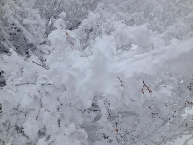
A few photos of riming.