Happy first day of winter! And it did not disappoint. Even though snow totals from the Friday night/Saturday am storm we meager during the morning hours, am currently finding the best conditions of the year during this so-far marginal season. Boot top soft snow providing fun ski conditions on lower angled slopes.
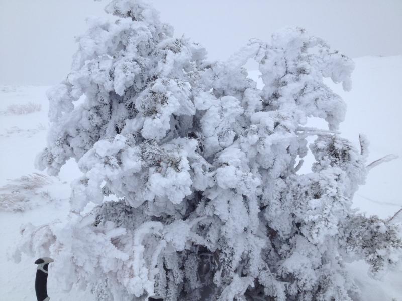
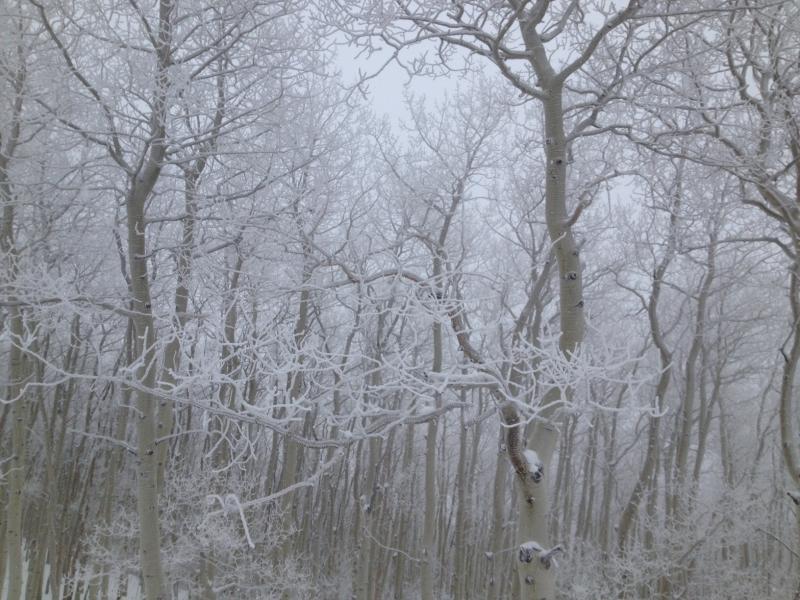
Route today was throughout the north and northwest facing aspen glades of Little Water Peak and elevations remained at or below 9,500'. Some riming on trees on windward aspects at the ridge lines, but no riming found below ridges. Lots of quick pits and I was finding a 75 cm (2.5') snowpack with 15-20 cms of settled snow from the Thursday storm and Saturday morning. Really cannot find a pattern to our snowpack on northerly aspects - in some of my travels over the past week am finding rotten snow throughout, but today was finding the top 15-20 cms sitting atop a supportable 4F slab. (But of course with F-hard facets and depth hoar below that.) CT 20/Q3 and ECTP26 with Q2+ shear. Both down 45 cms in mid-November facets.
With the lack of collapsing and generally favorable stability tests, I am thinking that the hazard on northerly aspects < 9,500' is closer to Moderate than Considerable, and that you would likely need to push slope angles above 35 degrees to trigger an avalanche, although with persistent weak layers we do know slides can propagate onto gentler terrain. (I will record hazard as Considerable given the avalanching reported from Friday.)
I did not see terrain above 9,500' to get a sense of conditions above that elevation.
Photos from riming early Saturday morning. The rimed particles in the aspen glades were particularly beautiful.