UDOT PLANNED AVALANCHE CLOSURES!!

Observation: Laurel Highway

Observation Date
11/28/2013
Observer Name
P Lambrose
Region
Moab » Laurel Highway
Location Name or Route
Laurel Highway to North Woods
Weather
Sky
Clear
Weather Comments
Classic high pressure with thick fog in the Moab valley stretching down to the Abajos, west to the Henry's, and North to the Book Cliffs. Bluebird day in the mountains with a few clouds and very little wind.
Snow Characteristics
Snow Surface Conditions
Faceted Loose
Wind Crust
Snow Characteristics Comments
Observed extensive surface hoar throughout the glades and meadows above 9400'. This will become a potential buried weak layer when the Lasals get new snow. (We skied in the same area on Friday and the surface hoar crystals were larger than on Thanksgiving day.) The other major problem is how the wind caused extensive scouring throughout the central peaks of the Lasals. We observed many wind pillows and skied along several wind rolls on our route to the North woods.
Red Flags
Red Flags
Wind Loading
Poor Snowpack Structure
Red Flags Comments
Pay attention to wind slabs, depth hoar, and surface hoar.
Comments
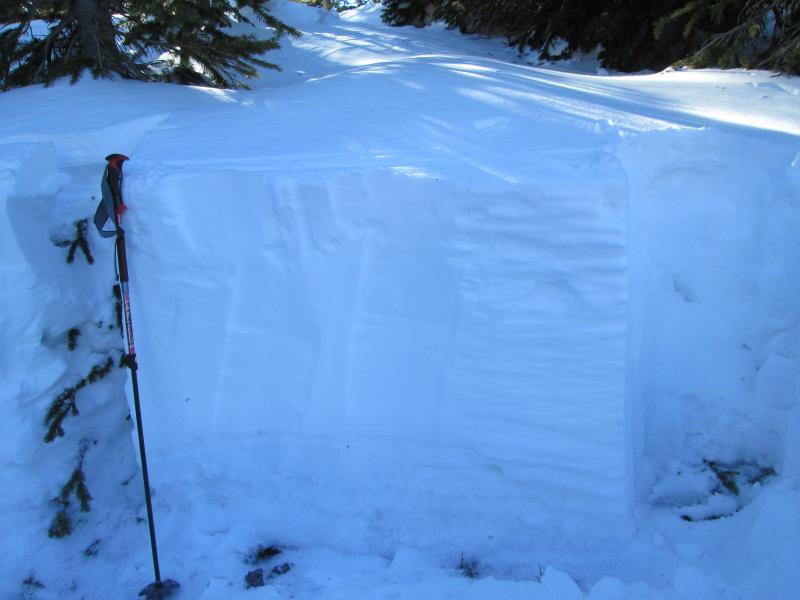
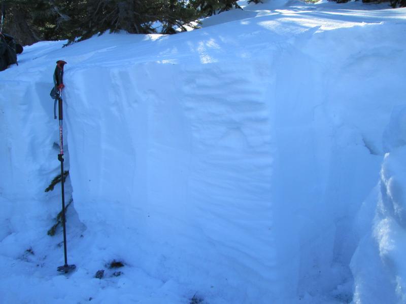
We dug a test pit on the north side of Julie's glade, at approximately 10,700'. It was 100 cm deep. Our ECT 5 had an easy shear 15 cm down from the surface which failed on graupel. As we continued the ECT, the middle section of the pit would not move. There's approximately 20 cm of depth hoar from the early September storm. These facets at the ground were a bit moist when compressed in my glove. The 2 photos below show the snowpit layers.
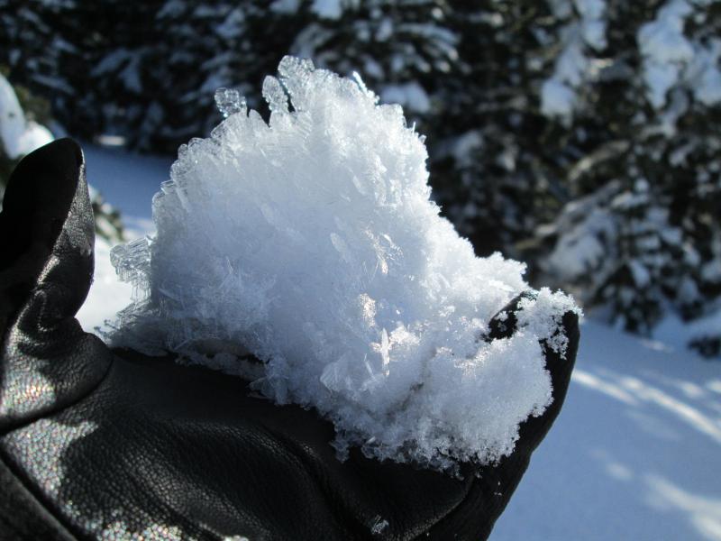
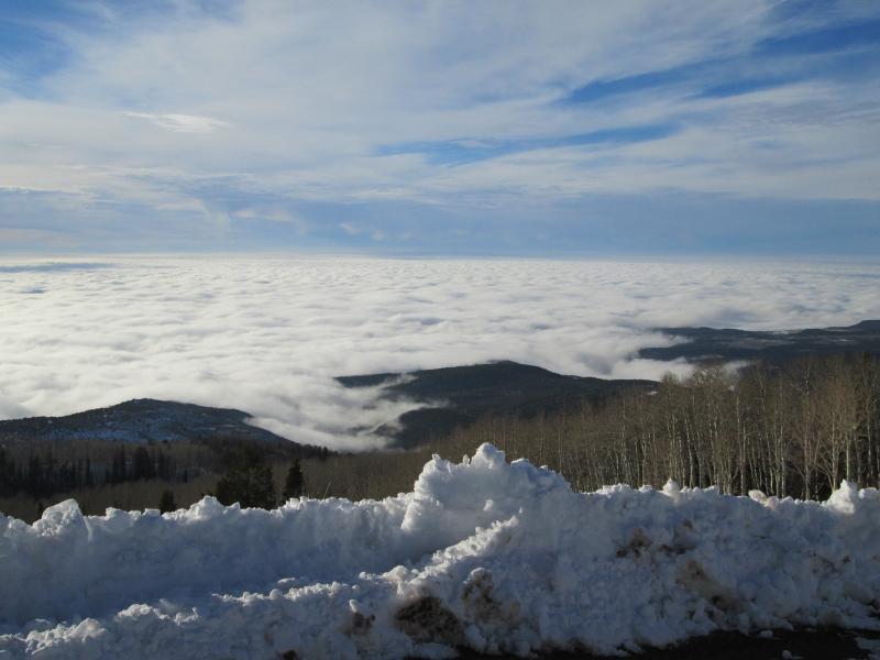
Pictures of surface hoar crystals and the valley fog below the mountains
Today's Observed Danger Rating
None
Tomorrows Estimated Danger Rating
None
Coordinates