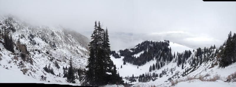
 Good panorama looking out toward Heber City/Midway into the Caribou Basin drainage along the Brighton Crest. Looker's left (the southerly aspect) still looking thin....looker's right (northerly aspects) holding more snow, though critical to take a closer look. See below -
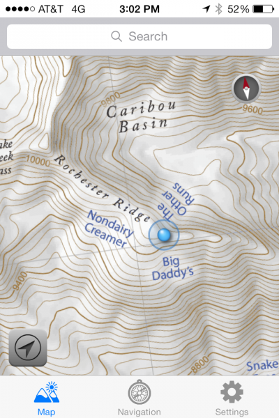
Map photo is a snapsnot from Utah Avalanche Center board member Steve Achelis's iPhone app Wasatch Backcountry Skiing Map
Due diligence as per the video. Looking at weaknesses near the ground (and below the Oct 28 pre-frontal dirt layer) as well as the early November snow that faceted and subsequently buried.
Collapsing and cracking noted in the underlying poor structure. You can see the larger, more defined basal facets in the first picture. Compare them to the second photo of the smaller angular facets from early Nov.


We dropped down to the east along the Caribou/Snake Creek ridgeline, noticing a variety of conditions along the northerly facing slopes. Some were scoured, some were loaded (due to channelling/protection) from either trees or topography. Well down the ridgeline, we came to a nice ski run/avalanche path called The Other Runs. We skiied it. Why?
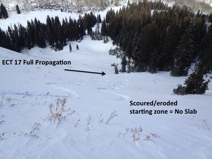
Despite the cracking/collapsing we noted further up the ridge on representative slopes, Thursday/Friday/Saturday's moderate to strong easterly winds had completely eroded any semblance of a slab in the steeper starting zone. Weak layers? Yes, but no slab. As you'll see in the photos, up-slope fetch drifting down low set the stage for full propagation ECT tests mid-slope BUT not until it was low angle. In other words, the steep terrain held no hazard; the potential instability was relegated to downslope where the angle was below 35 degrees. All key factors for our decision making.
Caution! This takes plenty of homework and observation with such variability due to early season conditions and the 'unusual' strong easterly wind event.