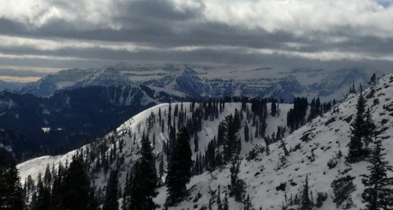
Early season access to the Provo area mountains is limited, complicated by a lack of snow or water data above 8,880' in the Provo mountains so we have few observations. However, it's often possible to extrapolate the Provo snow pack conditions from the Salt Lake snow pack. The Provo mountains seemed favored by the early season storms, and lingering snow on the northerly facing slopes was visible from the highway all through October. It's very logical to assume that all this lingering snow faceted, as it did in the Salt Lake mountains. In addition, average elevations are higher in the Provo area mountains, especially north of Provo Canyon, on the Timp Massif.
So I assume that there is widespread faceted snow in the Provo area mountains, on northeast, north and northwesterly facing slopes, above about 9,500' and deepening with elevation. Any loading event, of storm snow or wind drifted snow, will create conditions where a person can trigger a slide on a steep slope, from a distance or from below. Until we can put out regular forecasts for the Provo area mountains, much of the information for the upper elevations of the Salt Lake mountains will be relevant.


