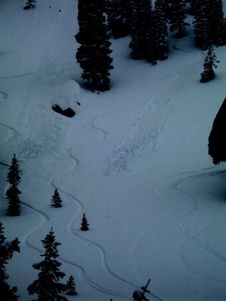
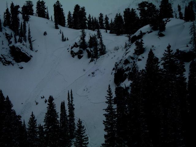
As a result of the unseasonably cold temperatures, the upper one to two inches of the snow surface remained cold and dry above 9000 feet on all aspects and slope angles. Below this upper one to two inches, SE, S, SW and W aspects became damp as the day progressed; and as well all slopes with angles 30 degrees and less also became damp. With the extreme forecasted overnight lows, many of these slopes may dry out and actually not develop a significant crust for Wednesday. Spongy textures may be more of what you will find on Wednesday. Wind scouring on upper elevation northerly facing slopes near the tops of the ridges was observed. Incredible right side up winter powder was found on all other slopes throughout the day. Total snow for the latest storm is not in the 10 to 14 inch range. Overnight it appeared that another 2 to 4 inches came down. And, there were a number of squalls that came through during the day that appeared to add another 2 to 4 inches depending on aspect and elevation.