Observation Date
4/5/2013
Observer Name
Steve Cote
Region
Skyline
Location Name or Route
GE Hill
Weather
Sky
Overcast
Precipitation
Light Snowfall
Wind Direction
Northwest
Wind Speed
Strong
Weather Comments
Temp. was above Freezing, this was before frontal passage on the skyline 11.30 AM
Snow Characteristics
New Snow Depth
3'
New Snow Density
High
Snow Surface Conditions
Damp
Snow Characteristics Comments
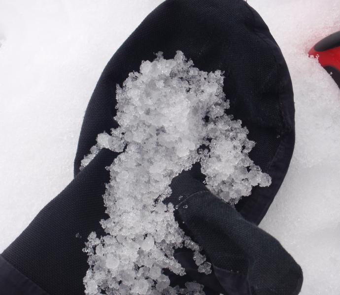
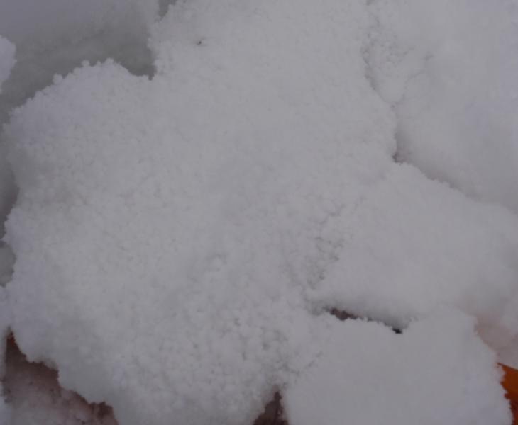
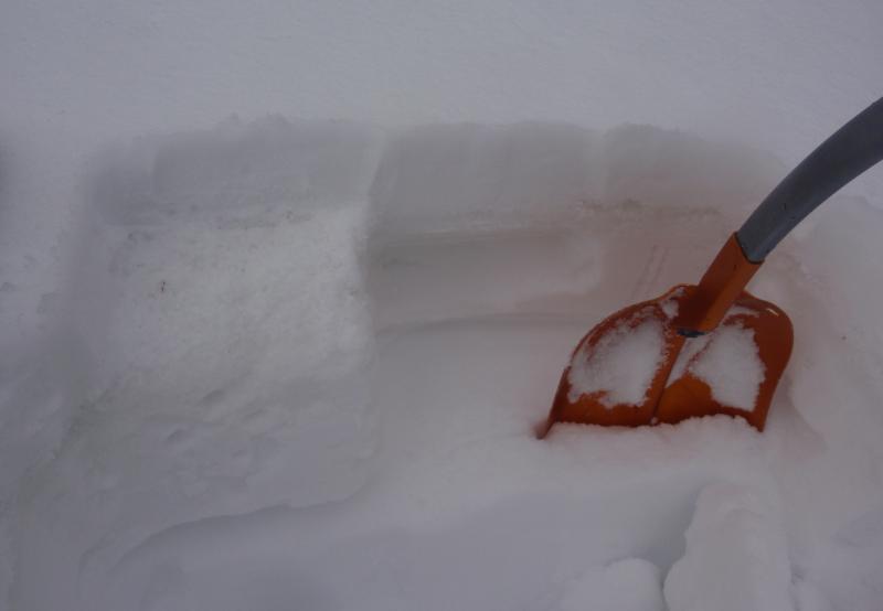
The new snow from earlier this week was wet and very dense and under the new snow was about an inch of hail, the hail was on top of the melt freeze crust from last week. At the weather station at 8800 feet the snow was wet through the upper levels pack no refreeze last two days. Near the top of the ridge the 3 inches of new snow and the layer of hail had froze but was damp today. Ski's would penetrate only 1 inch.
Red Flags
Red Flags
Rapid Warming
Red Flags Comments
With the upper mid elevations not freezing pack is getting wetter, elevations 8,500 to 9,200 still have enough snow for a possible problem if it stays warm. Hazard is North East, North and North west slopes wind loaded slopes. Due East and South slopes are melting off fast,
Avalanche Problem #1
Problem
Wet Snow
Problem #1 Comments
Possible if it remains warm, if it gets cold less chance of wet avalanches.
Avalanche Problem #2 The melting hail at 8,800 feet
Hail at 9,300 feet still frozen
Three inches of new snow from earlier in the week over 1 inch of hail. Hail is on top of the melt freeze crust, Under the crust is 1 finger for 6 inches a 1 inch of 4 finger layer than back to 1 finger. Unless we get a lot of snow out of these storms hazard should lessen over time as it gets colder at the higher elevations.


