Observation Date
3/12/2013
Observer Name
Kobernik - Kendall
Region
Skyline
Location Name or Route
Two days in the central Skyline
Weather
Weather Comments
Yesterday's high clouds, consistent breeze and cool temperatures up high helped preserve the snow conditions. Today we had intense sun with patchy clouds here and there, but temps up high remained cooler.
Snow Characteristics
New Snow Depth
9"
Snow Surface Conditions
Powder
Dense Loose
Snow Characteristics Comments
The northern portion of the Skyline region received a bit less snow than the southern half. The snow was medium to high density and contained quite a bit of small grained graupel.
Red Flags
Red Flags
Wind Loading
Poor Snowpack Structure
Red Flags Comments
In places, you can certainly find an abundance of weak snow, but this storm once again didn't overload them. The southern end of the Skyline is definitely more suspect due to a much thinner preexisting snowpack. The higher density snow was not loading slopes as badly as lower density snow may have. On a side note, cornices have grown quite a bit over the last couple of weeks. No cracking or collapsing noted. Warming temperatures weren't drastic enough to produce any activity. East and west aspects became damp today to the ridges. Cold dry dense powder was still in place on steeper north aspects above around 9000'. The snowpack is isothermal below about 8800'.
Comments
Overall danger seemed Moderate. Pockets of weak snow with a recent wind load provide the biggest concern. These will relax as the week progresses. The gradual warming trend seems like it will not shock the snowpack too much and produce significant avalanche activity. That said, caution should be used during the next few warmer days.
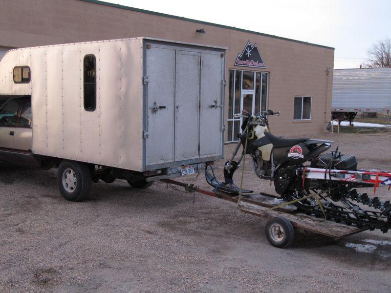
Thanks to our friends Cade and Brian of SnowBigDeal in Mt Pleasant for their hospitality and local knowledge!