Observation Date
2/18/2013
Observer Name
Darce Trotter/ Steve Cote
Region
Skyline
Location Name or Route
Seely Canyon, Wasatch Plateau
Weather
Sky
Clear
Weather Comments
very cold morning, ride in on machines was enough to frostbite things not covered up. clear skies in the morning, followed by high thin clouds later in the day as temps remained in the 20's.
Snow Characteristics
New Snow Depth
5"
New Snow Density
Medium
Snow Surface Conditions
Dense Loose
Snow Characteristics Comments
new snow varied from Tues/Wed storm, 12" on western slopes but only 5"-6" on the east side of summit ridge. Wind has been busy with whales, sustrugi, and other widespread damage apparent.
Red Flags
Red Flags
Recent Avalanches
Wind Loading
Red Flags Comments
on NE through E exposed slopes, shallow pack remains active with one recent twin avalanche noted, see our report.
We were surprised to see natural activity and that alone made us initally throttle back our plans, but our objective was not the active slopes, but rather NW more sheltered areas with the thickest snow pack in the area.
We reassessed several times, particularly on our uptrack staying on subridges and out of the gullies, but poking around our confidence increasd as we found consistently strong snow, and our stability tests confirmed our choice for the day was the right one.
Avalanche Problem #1
Problem
New Snow
Trend
Same
Problem #1 Comments
the recent (overnight?) activity on ENE shallow steep rocky area cannot be ignored, but easily avoided, terrain and snowpack choices were easy to determine. Some areas with very thin pack had lots of rocks sticking out and were easily identifed.
Moderate to Considerable Pockets on steep NE through E facing exposed slopes with shallow snowpack, much like Bruces blog mentioned in the Wasatch.
Avalanche Problem #2
Problem
Persistent Weak Layer
Trend
Decreasing Danger
Problem #2 Comments
Lots of wind has moved snow around, and cannot ignore landmines that are few, but still not to be trusted. Cornices seem to have strengthened with time, but not worth walking out on, especially the big ones.
we still found insolated areas near trees and buried stumps that were faceted an pole plants would go to the ground, not widespread but enough to make you leery of getting too close to the trees
Snow Profile
Aspect
Northwest
Elevation
10,000'
Slope Angle
26°
Comments
see our video and discussion of the snow profile, thicker snow pack areas have remained in about the same depth for the last couple of weeks, we still do not have that deep of a pack, come on March!
Video
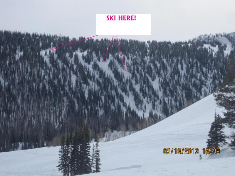
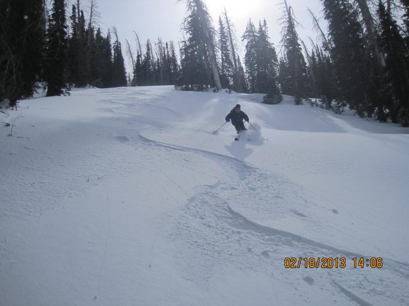
A look at the area we skied, we were confident in the snowpack and felt Ok about pushing our slope angles, skied 35 -38 degree rollovers in the terrain, with no cracking, collapsing, or other signs of instability.
FORECASTER COMMENTS: Well done gentlemen! Great assessment. My observations of the area are similar; not totally bomber but with some careful investigation, I feel good about getting onto some steeper slopes. The thinner snowpack areas certainly remain a big concern with any additional new large snow load as demonstrated by the recent minor wind event.
Coordinates


