Join us at our 2nd Annual Blizzard Ball

Observation: Miller Flat

Observation Date
1/25/2013
Observer Name
Steve Cote
Region
Skyline
Location Name or Route
Milers Flat
Weather
Sky
Broken
Precipitation
Light Snowfall
Weather Comments
Warm - above 32 degrees
Snow Characteristics
New Snow Depth
2"
New Snow Density
High
Snow Surface Conditions
Damp
Snow Characteristics Comments
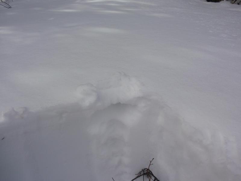
New snow at 9,000 feet was wet dense snow over a weak 1 inche melt freeze crust. Below that was the faceted snow from the last storm, settled to 6 inches. The faceted snow was beging to get damp also. At 9700 feet the snow was dense wind packed 3 inches over faceted snow in sheltered areas. Open areas were solid 1 finger to the ground.
Red Flags
Red Flags
Rapid Warming
Poor Snowpack Structure
Red Flags Comments
Talking to snowmobilers in the area and my observation from this week and last, in sheltered areas it was still possible to find weak faceted snow that was weak to the ground. Areas that were more open and wind impacted were solid (go any were conditions).
Avalanche Problem #1
Problem
Wet Snow
Trend
Same
Problem #1 Comments

Wet avalanches at low elevations are evident and may be with rain to 8000 with next storm could impact the higher elevations.

Avalanche Problem #2
Problem
Cornice
Trend
Increasing Danger
Problem #2 Comments

Cornices may be more sensitive with warming temp's and more snow this weekend.

Millers flat with 1 inch settled wet snow over a weak melt freeze crust. below the crust was facets starting to warm and melting.
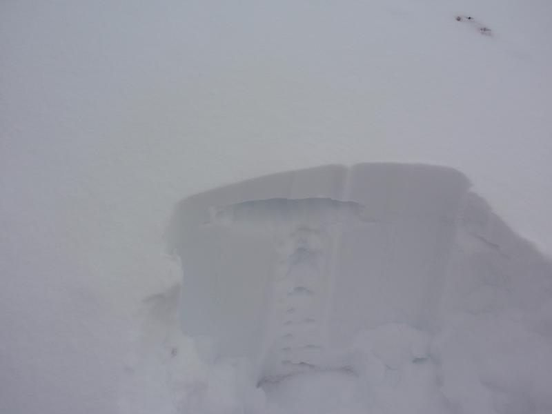
Skyline 25 shows a dense slab over faceted snow from the snow storm in early Jan. this picture was taken at 9700 feet as compared to the millers flat picture at 9.000 feet.