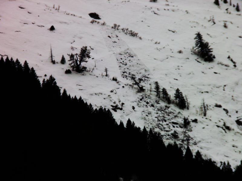
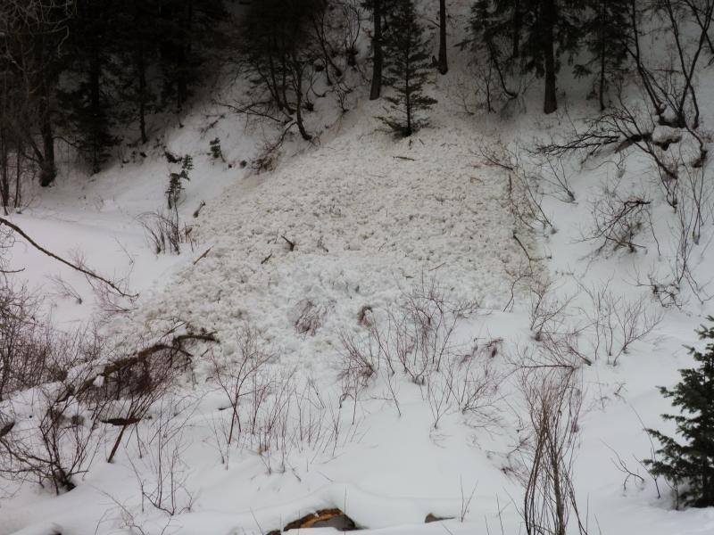
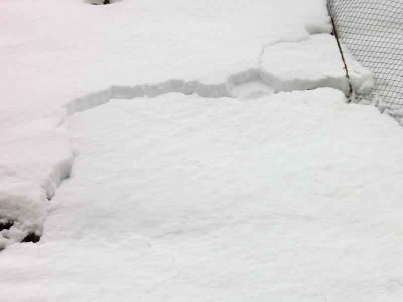
Went out to have a look at what yesterdays strange storm did in the mountains. First thing of notice was the wet snow activity from yesterdays rain event below 7000ft. Also the loss of most of the mid elevation South facing snow pack, kinda grim. Pics, wet slide on the Mineral slabs, wet slide debris at the Mineral Fork trail head, cracking and creeping of the snow from the last storm on the road cut, all below 7000ft, in that order.
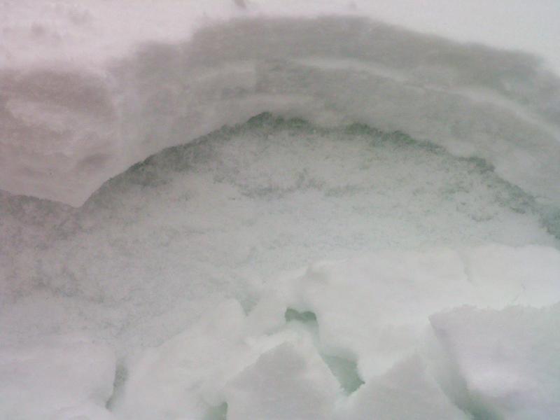
Cornice drops in South Monitor produce no sluffing because of the higher density snow. Skiing was basically dust on crust in S Monitor, bottom feeding on every turn. No Name had a whole different set up, before the angry 2 inch storm yesterday it was pretty close to being faceted top to bottom with just enough of a slab to keep you off the dirt. today it was inverted, you would sink up to your knees in it and the top part of the pack was denser than the underlying facets. I think the upper part of the pack was denser for a few reasons, first is the dense snow from yesterday, second is I think the high humidity and the warm air had slabbed up the top 8 to 10 inches of snow and formed a semi dense slab, not a problem now but something to keep in the back of your mind. I did not like the feel of the snow in No Name. Pic, Dense snow on a hard bed surface in South Monitor
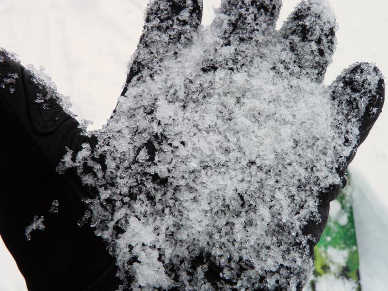
Did get one fairly good collapse with a shooting crack on the far skiers right in S Monitor, right in the armpit below the radio towers, upon inspection, noted that it was a stout wind slab sitting on large grain facets, location not steep enough to slide, but would not want to find one in unforgiving terrain. Pics, hard wind slab with obvious facets underneath, large grain facets weak layer.
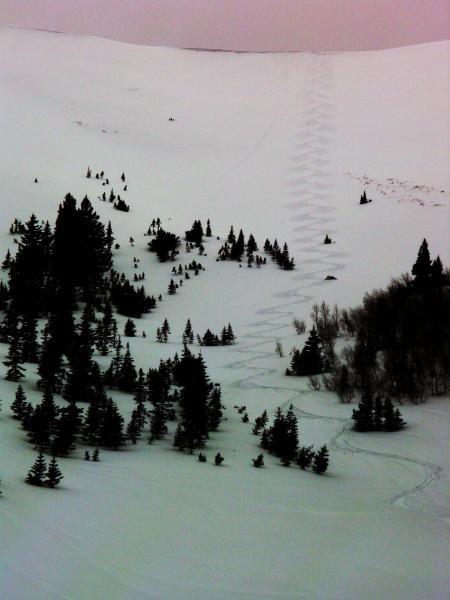
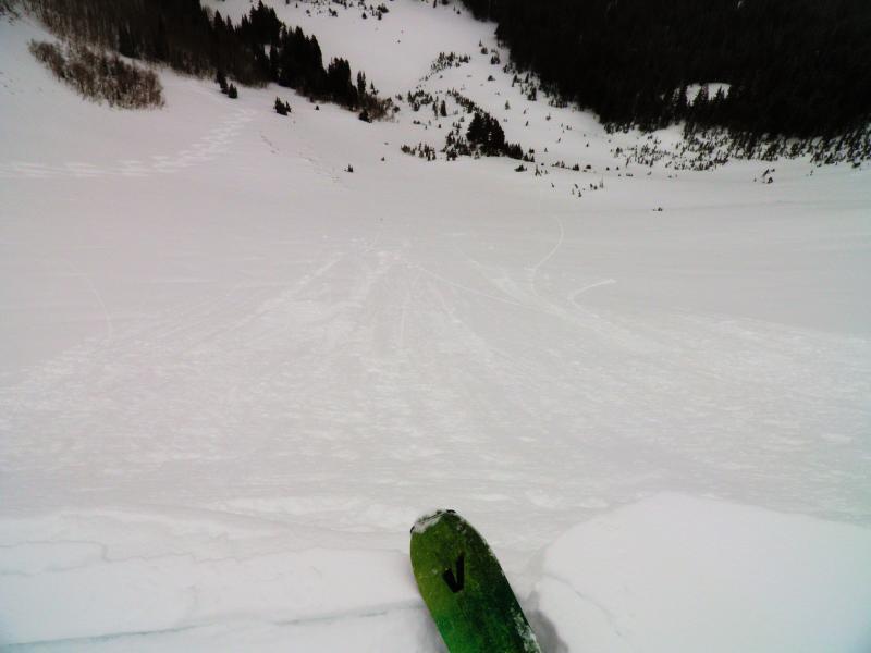
Bottom feeding sucker tracks.