

Observation Date
1/13/2013
Observer Name
jg
Region
Uintas
Location Name or Route
Hoyt Peak
Comments
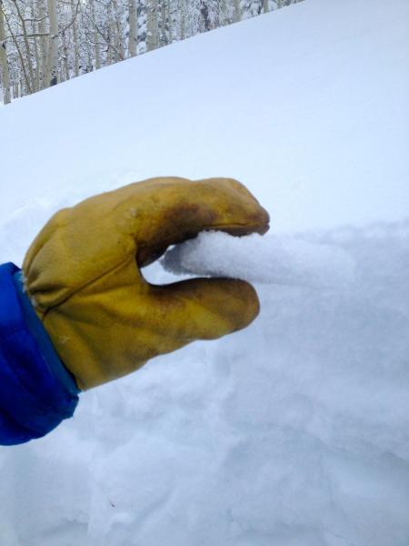
Hand pits, CT's and ECT's test showed mixed results but most of the time I had energetic Q1 shears on the new snow/faceted old snow interface...but not all the time. CT12-18. Test pit on a NNW slope at 8800 ft. on a 32 degree slope was 40" deep - ECTNR. Found a stout rain crust about 14" from the ground in that pit. No rime crust from last week noted in any pits. Traveled from 6700-9200 ft., slope angles to 32 degrees, NNW and WNW aspects. Snow adjusting to new load in the area traveled. Still would be very cautious about pushing slope angles.
Rain crust from early season rain/rime event.