Observation Date
12/7/2012
Observer Name
mark white
Region
Salt Lake
Location Name or Route
Monitors, PC Ridgeline
Comments
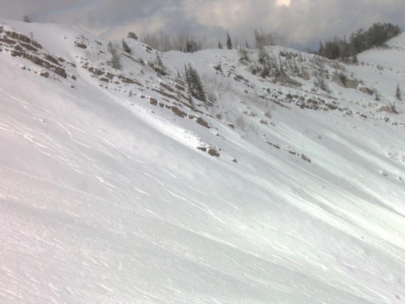
Pleasantly surprised with the snow quality in South Monitor in the morning, quite a bit more ski penetration than I was finding in Cardiac Bowl yesterday, might be due to more wind loading and less wind hammering. But that all changed by about 3pm, what was creamy dense snow had turned into wind board and wind slab in a matter of hours, from the ramping up winds. Pics, S Monitor in the morning, looks wind affected but was actually About 6" of creamy snow on a soft base.
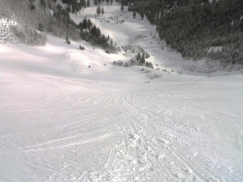
Still seeing the weakest layer about 6 to 8 inches down from the late November dry spell. No cracking, collapsing or rain crust noted, except for the rain crust on the exit. Pic, wet activity from previous days in W Monitor.