Observation Date
12/2/2012
Observer Name
Greg Gagne
Region
Salt Lake
Location Name or Route
Grizzly Gulch - Twins Lakes Pass - Figure 8 Hill/Bowl
Comments
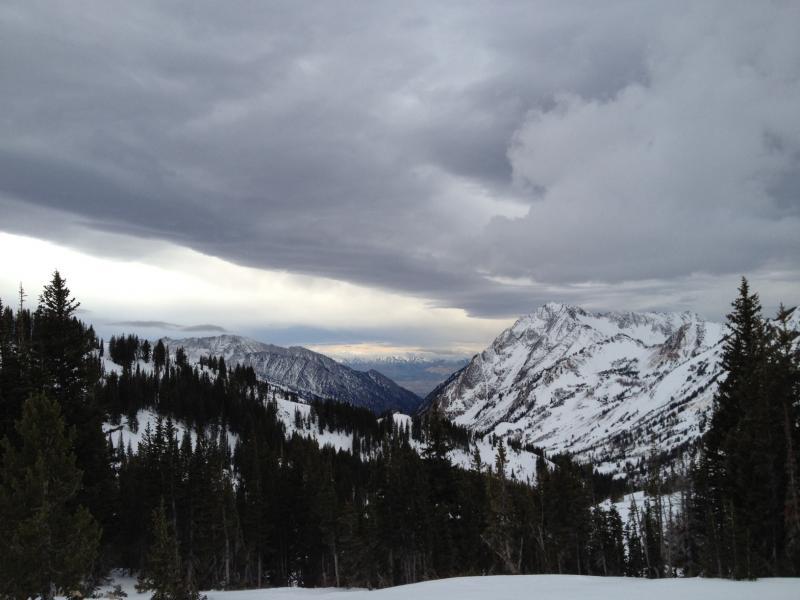
Got out to have one last look around before the (hopefully) onset of new snow Sunday night/Monday morning. In particular, was curious to see if I could find the rain crust that was reported in Sunday's forecast. In Grizzly Gulch I was finding a very thin temperature crust on N/NE aspects, but it appears to be a melt-freeze crust and not a rain crust. However, I did manage to get over to Figure 8 Hill/Bowl area and - after very careful navigation of the sharks teeth - did notice a very thin (~1mm) brittle crust on a E/NE aspect at ~9700' and I am suspecting this may be the rain crust that was reported elsewhere. (It is so thin, and not very widespread, so that it is quite difficult to identify.) Am wondering if it was more of a Big Cottonwood event than elsewhere. Where I did notice it there seemed to be facets sandwiched between the thin rain (?) crust on top of a stouter wind slab (or melt-freeze crust.) Suffice to say the crust doesn't seem to be very widespread, and is quite thin (though it is capping facets.) It also seems we have other weak layers to focus on for the time being.
Winds really began to ramp up by late morning and affecting snow well off of the ridgelines. Fresh wind drifts were shallow and only small pockets, although I imagine they may be a bit more widespread along upper elevation ridgelines. Despite the moderate to strong winds, was not noticing as much snow being transported as I would normally expect, most likely due to the lack of soft snow available for transport.
Nice to watch a weather system moving in after too long a period of high pressure.