Observation Date
11/10/2012
Observer Name
Evelyn and Hayden
Region
Salt Lake
Comments
This slide was triggered from below and left, just out of the picture, about 75' away from the side (flank). Of interest, it was triggered from a quick pit I had dug 30 minutes earlier. Perfect example of the tricky nature of facets, where slides can be triggered by the second person or even a third or fourth.
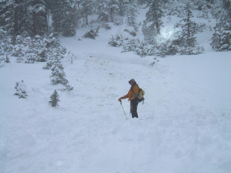
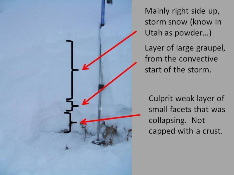
Test slope at the top of Crest lift, Brighton, NNW facing, at approximately 10,200. The slope collapsed numerous times, (snow pit test - ECTP13, CT13) - allh failing on the facets at the new snow/old snow interface. I was surprised to find facets to the ground, rather than a thin layer at the top of the old snow, and no crust capping the facets. Early season variability.
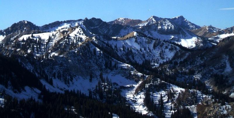
So now I'm looking at the snow coverage from before this storm more intently. The old snow on most northerly, northeasterly and northwesterly facing, upper elevation slopes is faceted, and there are definately smooth slopes with enough snow covereage. The pockety nature just makes it all the more tricky. (photo from Nov 8, looking south from the top of 10,420)