Observation Date
11/8/2012
Observer Name
Evelyn
Region
Salt Lake
Comments
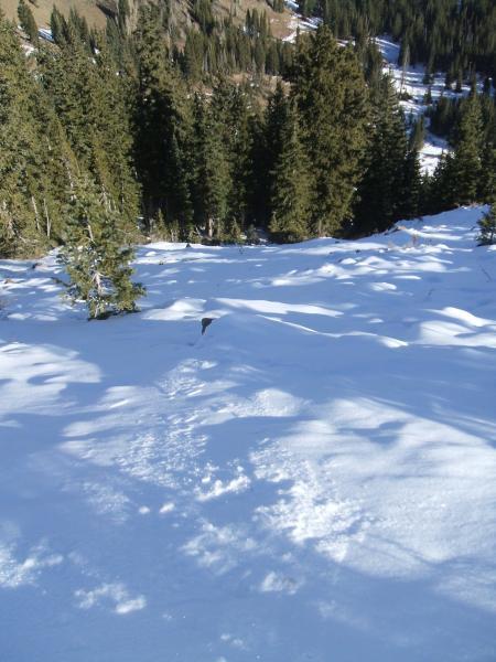
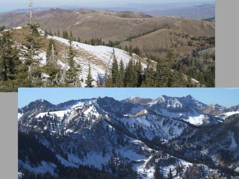
Standing on top of 10,420, the southerly facing slopes are mostly bare. Northerly facing slopes seemed to average about 10" of snow at 10,000' and higher. In some areas, the ground features such as rocks were sticking through, in other areas the snow was more continuous.
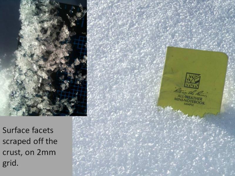
Snow surface on these upper elevation, northerly facing slopes was a crust (assume melt-freeze) with well developed facets on top that were well frozen to the crust. I don't think these facets will be able to collapse as a weak layer. The problem is the smaller facets beneath the crust.
Average snow pack at 10,400', NE facing, on peak 10,420.
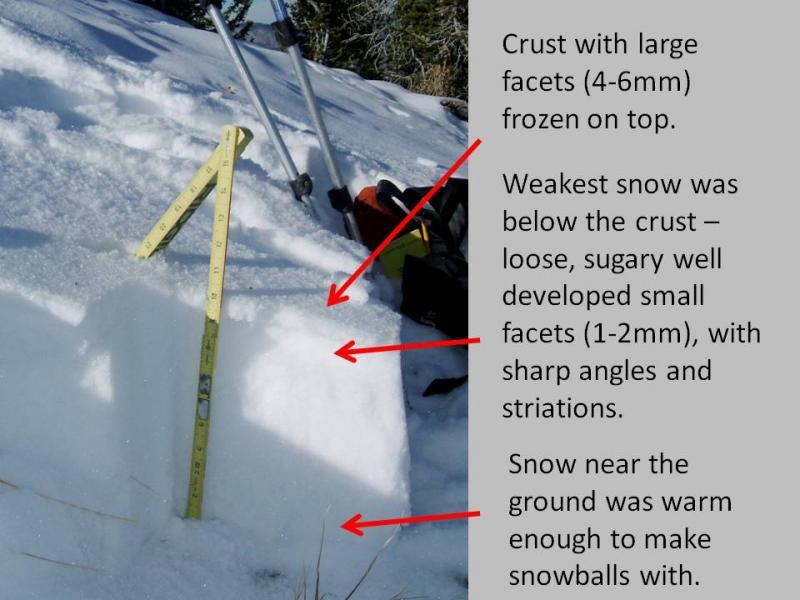
Looking at the upper elevation, northerly facing slopes, there is just enough snow on some of the smoother slopes to cover the ground features. With a heavy load of new snow, I expect slides to break down into the facets below the crust, either as small slabs or with the facets simply encouraging larger sluff.
I think it will be a pockety, but serious issue, that can catch people unaware. One slope will be stable, the next, more sheltered, smoother slope harboring old snow beneath, will have the potential to slide.