Observation Date
10/25/2012
Observer Name
Kobernik
Region
Salt Lake
Location Name or Route
Collins Gulch - Alta Ski Resort
Comments
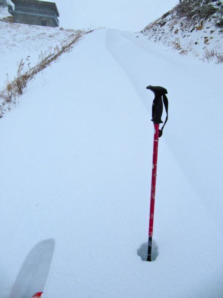
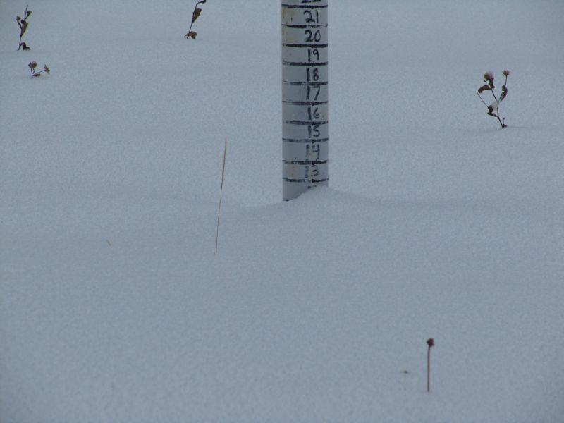
I did a quick trip up to Alta today for a non-recreational outing (snow cover too thin for my tastes). I just wanted to look at the snow. Here's the total depth stake at the Collins snow study plot.
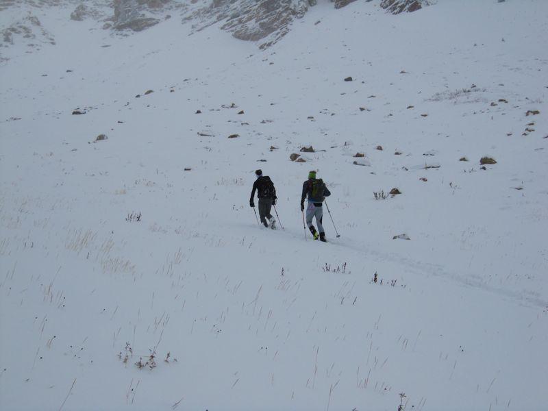
12" total snow doesn't allow for much real powder skiing. There were two young bucks marching up to the Main Chute of Mt Baldy. Again, too thin for my taste but they looked like they new exactly what they were doing.
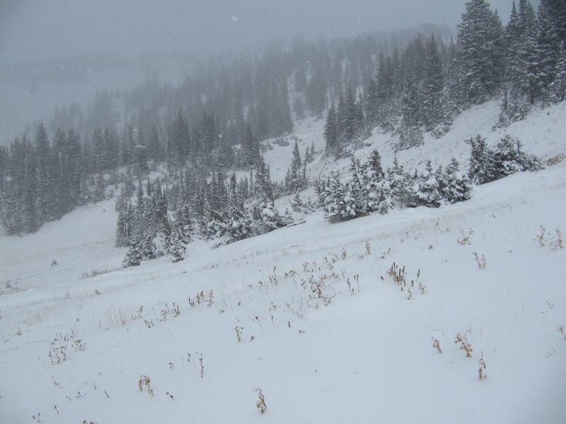
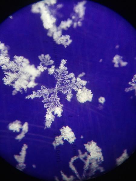
The last bit of snow that fell contained some rimed crystals which you would expect with the quite convective weather this morning that even had some lightening associated with it.
Near the top of Germainia Pass at about 10,000' there were some drifts that were perhaps 2' deep.
The bottom line is that there is very little threat of avalanches at the current time.
The next question is how will this layer of snow behave in the long run. Will it facet and become a weak layer? What we want at this point is more storms to continue to change up the snow surface so it doesn't have a chance to become weak. Or, if it's not going to snow, we would like to see the current snow melt away. The next chance for snow looks like toward the end of next week. Much of the current snow will probably melt by then but I'm sure there will be some that stays in the steeper upper elevation northerly aspects. As always, we will monitor the current snow as to see what changes occur with it.