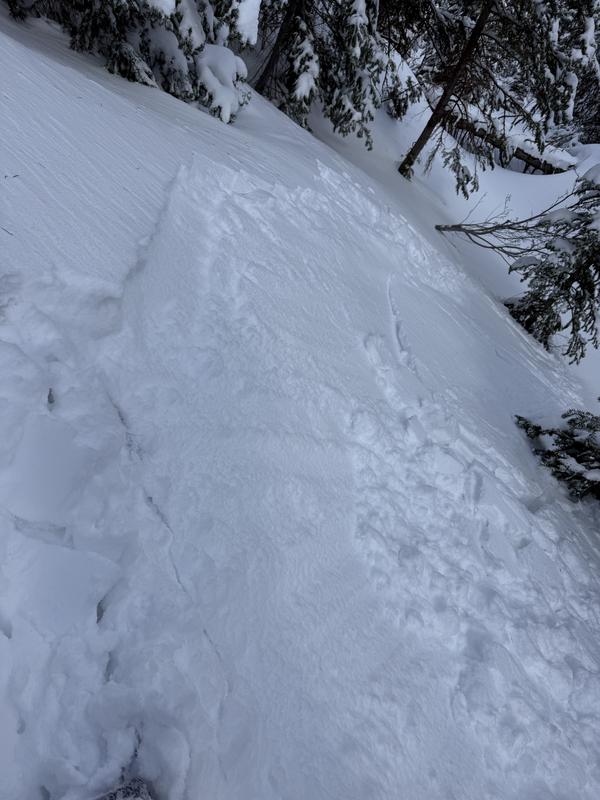
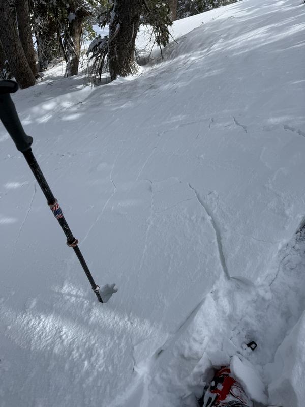
The new snow seemed to be bonding well to the old MF crust snow it fell on, but when paired with the soft but increasingly hardening wind slabs generated by strong easterly winds it was touchy and propagating about 10' and increasing throughout the day. This problem seemed to be more prevalent in the upper reaches of the mid elevation zone, but also seen at upper elevations with much more variability. I expect this problem to lessen as the weekend progresses, but would expect some consequential pockets of sensitive soft wind slab to be lurking in the right lee terrain especially into tomorrow. I expect this problem is likely at the D1/1.5 size in the right terrain with decreasing sensitity as the weekend progresses.
Low elevations, although thin, seemed to have good overall stability where the new snow fell on old snow.
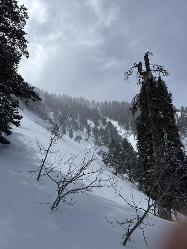
Mid elevations seemed to get the most new and wind blown snow and had the most signs of instability.
Upper elevations were variable with more, but smaller pockets of wind blown snow, old cornices being blown over the ridge lines and new cornices forming on westerly facing ridge lines.