Observation: Cardiff Bowl

Observation Date
4/3/2025
Observer Name
Zimmerman-Wall/ AIARE PRO 1
Region
Salt Lake » Little Cottonwood Canyon » Cardiff Bowl
Location Name or Route
Cardiff and Toledo Bowls
Weather
Sky
Obscured
Precipitation
Heavy Snowfall
Wind Direction
Southwest
Wind Speed
Light
Weather Comments
Tour started 10am, concluded at 3pm. Sun was barely shining through the thick overcast skies at the start of the tour, and it felt humid and temperature management was difficult. Fortunately, the snow didn't seem to notice. As the day continued, a 3-hour period of intense snowfall began at 1230pm. S5-S10 was measured at our observations sites (2-5"/hour rate).
Snow Characteristics
New Snow Depth
9"
New Snow Density
Low
Snow Surface Conditions
Powder
Snow Characteristics Comments
The snow that fell today was a mixture of various crystal types, which contributed to some notable instabilities, namely dry loose and shallow storm slab. This was sitting on a layer of nicely settled storm snow from last couple of days. New snow since 4/1 was measured to be over 60cm in this area.
Red Flags
Red Flags
Recent Avalanches
Heavy Snowfall
Cracking
Red Flags Comments
We could easily get cracking by stepping above our existing skin or ski tracks. Some small convexities would spiderweb but not release. The slabs were barely gaining cohesion during our travel.
Avalanche Problem #1
Problem
New Snow
Trend
Increasing Danger
Problem #1 Comments
Numerous Natural Dry Loose noted from 2-3pm originating from rock bands and steep terrain features along the Cardiff Peak and Toledo ridges, and later Hellgate cliffs. (10,000' East through South facing)
Several Storm Slabs noted along short convex slopes at the start of the Flagstaff skin track (9000' South facing)
Snow Profile
Aspect
Southwest
Elevation
9,700'
Slope Angle
16°
Comments
>10 snow profiles performed across a variety of aspects around 9600-9700' today. Many compression tests showed fracture initiation in the new snow from today, indicative of the dry loose problem. A few had results on the mid-storm interface from earlier in the week that was reactive to skier triggering on 4/1. No propagation noted on any of our extended column tests.
Photos from tour 
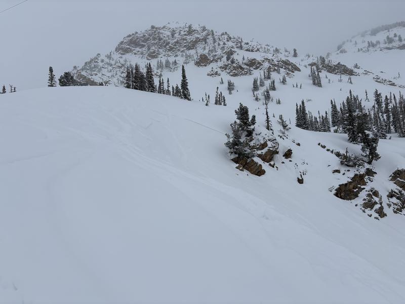
1. Old storm slab noted along small rim of small bowl ascending towards Cardiff Pass. This appeared to be skier triggered in the last 24 hours. (9550' East facing)
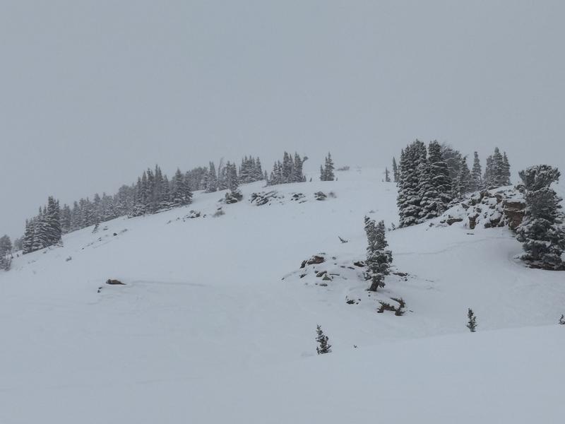
2. 3 small new Storm slab noted on exit above the start of the Flagstaff skin track at 3pm.
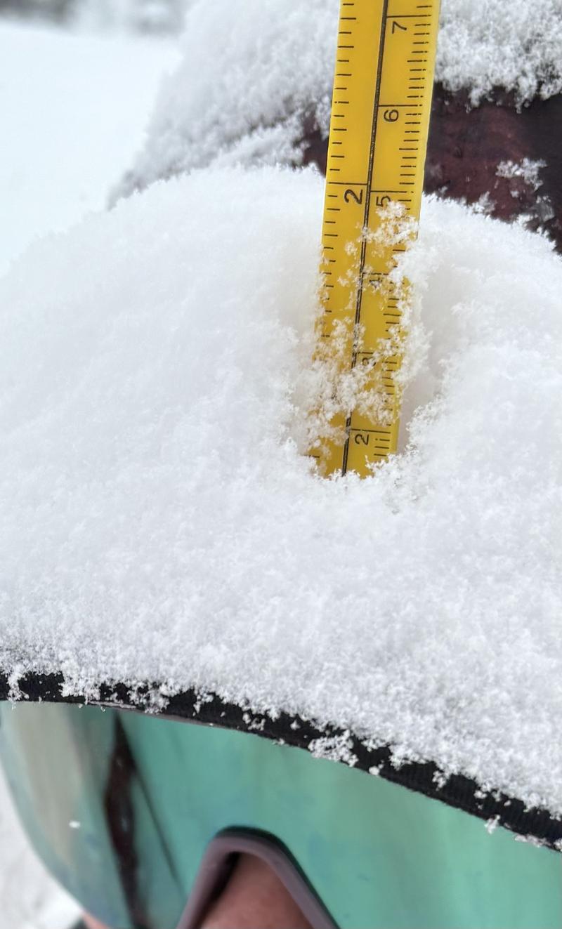
3. Flatbrim Interval Board- 1 hour snowfall measured from 1:30-2:30pm (5cm or 2")
4. Hellgate Cliffs-numerous Dry Loose noted on ride down canyon at 4pm.
Today's Observed Danger Rating
Moderate
Tomorrows Estimated Danger Rating
None
Coordinates