

Observation Date
3/9/2025
Observer Name
Ryan Shea / Dallin Baker / Eric Ramirez
Region
Provo » Snake Creek » Ant Knolls
Location Name or Route
Dry Fork / Ant Knolls
Comments
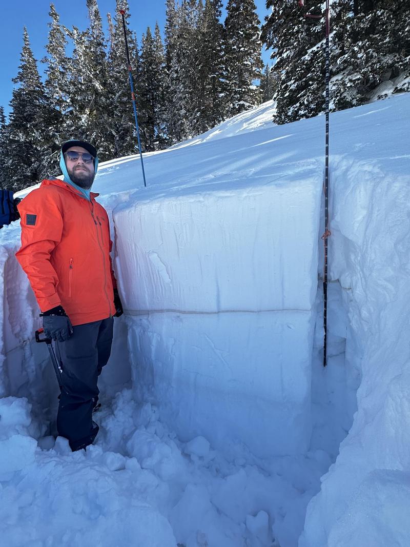
Skied the west face of Ant Knolls into Dry Fork Sunday 3/9 found almost every snow condition possible from m/F crusts to zipper crusts, dry pow, hot pow, etc. NW and shaded areas skied well.
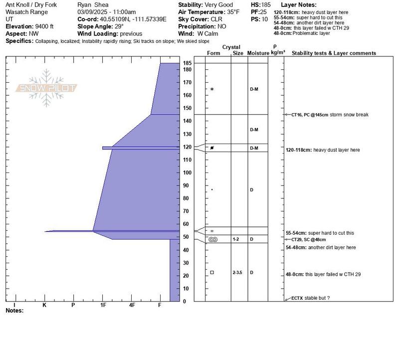
Surprisingly overall good stability despite the shit sandwich of layers the snow pit revealed including 2 dust layers with the top one clearly adding a fudge stripe factor that seemed well bonded during isolation tests, but crumbled as we collapsed it.
Wet loose was our biggest concern on the way up a SE aspect, but the occasional collapsing underfoot was unnerving even though there was no cracking and we suspected SE would not have that same PWL.
Seems the overall pack has strengthened and also we have further insulation from the PWL w last storms deep totals. All is set to change later this week w next storm where things get suspect again, especially new snow interface w zipper crusts.
Be safe and definitely watch out for thinner areas near trees and rocks that might allow one to trigger the PWL, esp on sleds.

Today's Observed Danger Rating
Moderate
Tomorrows Estimated Danger Rating
Moderate
Snow Pilot URL