


Observation Date
3/9/2025
Observer Name
Gagne/Johnston
Region
Salt Lake » Mill Creek Canyon » west porter
Location Name or Route
West Porter Fork
Comments
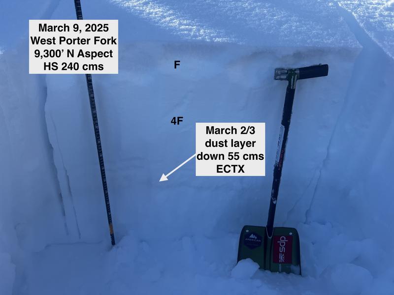
Today's focus was on the snowpack in West Porter, a place I haven't traveled in this season. Overall a decent snowpack with a 220 cm depth on a NE aspect at 8,700' and 240 cms on a N aspect at 9,300'
We could identify the March 2/3 dust layer down 55 cms at 9,300' (photo below) but pit results were ECTX (no fracture). In pits I've looked at on Thursday on Gobblers Knob and on Saturday in Mineral Fork, the dust layer is evident, but pit results are ECTX or poor-quality ECTN, an indication this layer continues to gain strength.
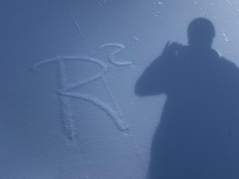
We did find plenty of radiation rcrystallization (RR) on Saturday in Mineral and again today. RR is a thin layer of facets on top of a melt-freeze crust and can be a problematic weak layer if buried. With plenty of warm weather ahead, I'm guessing the RR layer will get destroyed by sun and warmth, but it's worth keeping it in mind as a potential weak layer with more snow expected later this week.
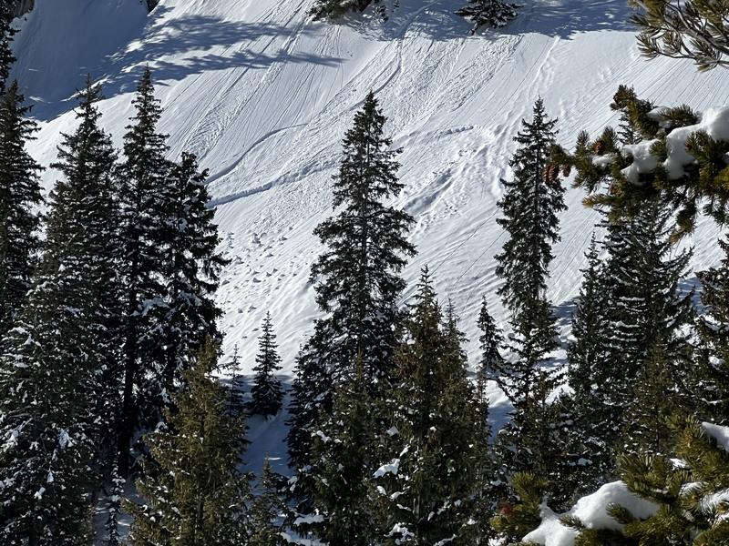
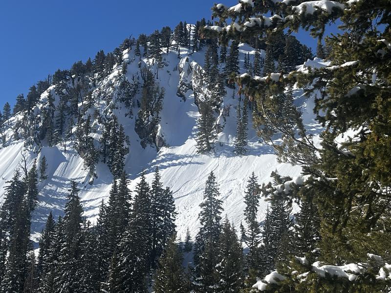
We also saw the filled-in crown of an avalanche that likely ran sometime on Thursday or Friday. This was on a steep, NE aspect at 9,400' just south of West Porter Pass. It is difficult to tell, but this avalanche likely ran within a storm interface during the Thursday/Friday storm.
Photos:
1. Pit on N aspect at 9,300'
2. RR layer on NE aspect
3. Two photos of recent avalanche.
Today's Observed Danger Rating
Moderate
Tomorrows Estimated Danger Rating
Moderate
Coordinates