

Observation Date
2/28/2025
Observer Name
mark white
Region
Salt Lake » Little Cottonwood Canyon » White Pine » Red Top » Long John Silver
Location Name or Route
Long John Silver, white Pine
Comments
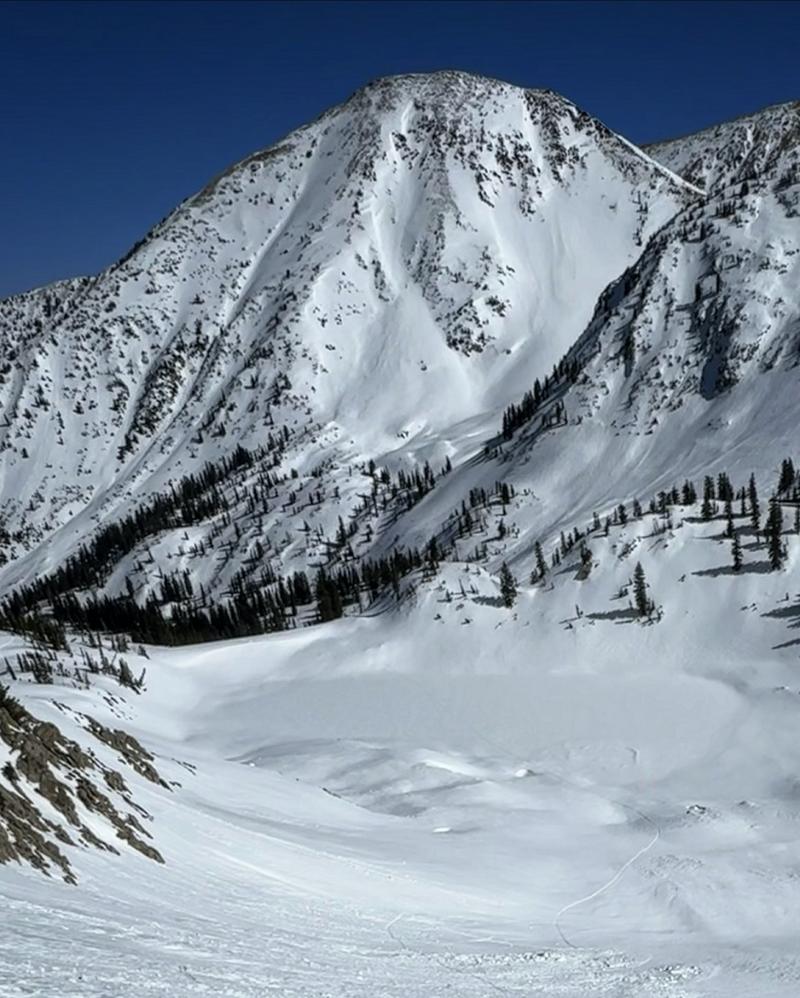
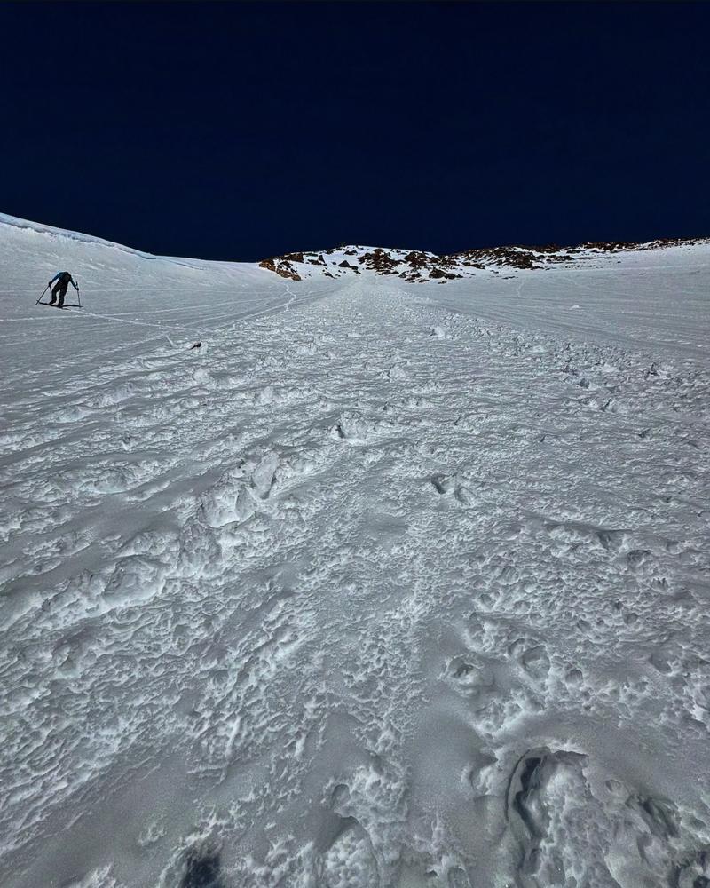
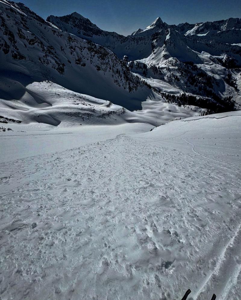
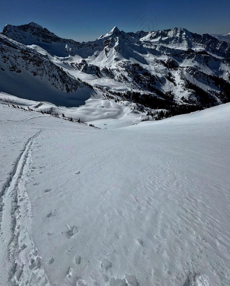
Went Back to White Pine hoping for some soft corn like conditions on the big S-SW facing aspects on Long John Silver, looked at it when I was on Red Baldy Monday and had to go back and give her a go. Figured it was going too take a while for things to soften with a hard freeze last night and a bit of west on the slope we wanted to try. Didn't start hiking until almost 10 and that was too early for SW. Got to the upper drainage around noon and decided to hit a E-SE slope to waste some time. The SE above the lake had a lot of wet activity that most likely happened during the heat wave on S, M, T. The slope was getting pretty damp by 12:30 but still decent skiing. Then headed across the drainage to give the SW a go. Long John Silver went though a nice avalanche cycle after the big storm a bunch of days back, there were still visible crown on the SW facing and a spot mid slope that seemed to step down to a older weak layer. There was also wet activity that most likely happened during the heat wave as well. We hit the timing on the S-SW pretty good, being on top of LJS at 1:30 was about perfect for supportable, soft skiing. It wasn't real corn but the next best thing, corn like surface conditions with dry snow underneath, and about 4 to 5 inches of ski penetration. I was surprised at how the sheltered polar aspects came around since Monday, slopes that were crusted and unpleasant skiing on Monday had recrystallized and soft powder today. The hazard seemed fairly low today, the sunny aspect had already done their thing and the Polars seemed locked in place, that's just in the high alpine terrain covered, not sure about lower elevations. I personally think we're rounding the corner but it be nice to get a big load to confirm my theory. Photos: Long John Silver from the lake, wet activity from the big warm up and ski penetration on S-SW around 1:30 going with moderate tomorrow seeing it might not get a solid refreeze and it's supposed to get warmer during the day
Today's Observed Danger Rating
Low
Tomorrows Estimated Danger Rating
Moderate