


Observer Name
Manship
Observation Date
Saturday, February 15, 2025
Avalanche Date
Saturday, February 15, 2025
Region
Salt Lake » Big Cottonwood Canyon » Maxfield Basin
Location Name or Route
West Maxfield
Elevation
8,300'
Aspect
Southeast
Slope Angle
Unknown
Trigger
Natural
Avalanche Type
Soft Slab
Avalanche Problem
New Snow
Weak Layer
New Snow/Old Snow Interface
Width
Unknown
Vertical
Unknown
Comments
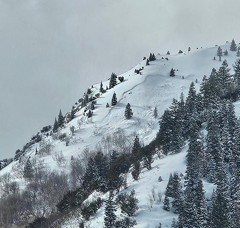
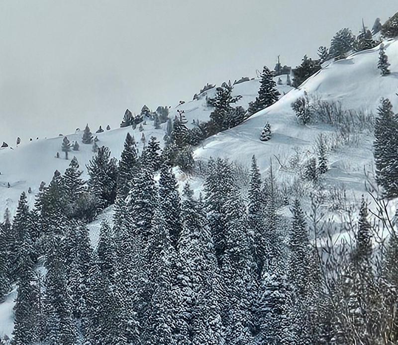
Spotted this from the road. I couldn't capture a good photo but this avalanche connected well up the ridge and appeared very connected. Possibly failed 300ft along the ridgeline. It looked to be about 1'-1.5'. This photo is the lowest crown of the avalanche, I estimate it is around 7800'. Based of the other avalanches we saw today in would suspect it failed on the Feb 5th crust.
Coordinates