Observation: Cutler Ridge

Observation Date
2/6/2025
Observer Name
Derek DeBruin, Cage Vigil
Region
Ogden » Ben Lomond » Cutler Ridge
Location Name or Route
Ben Lomond, Cutler Ridge
Weather
Weather Comments
Hell of an April we had this February so far. Things finally cooled down today to below freezing. Winds were out of the S/SW, light gusting to moderate up on the ridge proper. Cloud ceiling was about 9,000ft, shifting a bit up and down throughout the day. No precip.
Snow Characteristics
Snow Characteristics Comments
Refrozen snow surface was 10+cm at low elevations and generally supportive, 6-8cm at mid elevation and supportive under ski with boot pen of about 10-15cm, and as little as 1-2cm at upper elevations and not supportive unless it was old wind scour that was fully iced over and bullet hard. Picked up a trace of graupel at 7500ft, increasing about to 1" in the upper elevations. Cornices and stiff wind lips as low as 8100ft or so, sastrugi starting around 8600ft. Surface conditions were not as bad as I expected up high, with thin breakable crust overlying wind affected snow, making for reasonable downhill travel. Below about 7600ft, however, surface conditions were as bad as I'd expected, reminiscent of pre-dawn in the Cascades in spring--frozen sun cups, chattery surface water runnels, and rock hard old tracks--trenches cut by skiers of days prior who sank to their boot tops. On the plus side, things were fully locked in.
Red Flags
Red Flags Comments
Nothing for today (plenty of recent unreported avalanches from a few days ago; see separate avy obs). A few long running D1 slides from the weekend storm/wind cycle, down the gullies to the NW (skier's left) of the summit. There were still some pockets of snow available for transport, but much had already been wind affected, scoured, frozen, etc. that the wind wasn't a big player.
Avalanche Problem #1
Problem #1 Comments
<p>
A few things to report under the surface.
</p>
<p>
At low elevation, found 10cm+ hard and frozen surface on top of dry facets (still trying to puzzle that together to be honest). This sat atop the older, thin, decomposing crust, now buried 20cm down or so. This was atop warm, wet, rounding facets to the ground. The low elevation snow took a real beating with the rain and warm up--brown town on solars, and HS45 or an optimistic 50.
</p>
<p>
At mid elevation high enough to avoid the rain and some of the heat, still about 1.5m or more of HS. Found thinner surface freeze of 6-8cm atop wind affected, with crust beneath. Similar conditions but with greater depth (1.8+/-m) at upper elevations, and a bit of graupel on the surface, too. Looked for NSF beneath the wind affected and found it to be quite limited. I suspect a lot of the drought facets were simply smashed into oblivion as they got thrown around by wind, making it challenging to find them beneath the snow surface at this point.
</p>
Comments
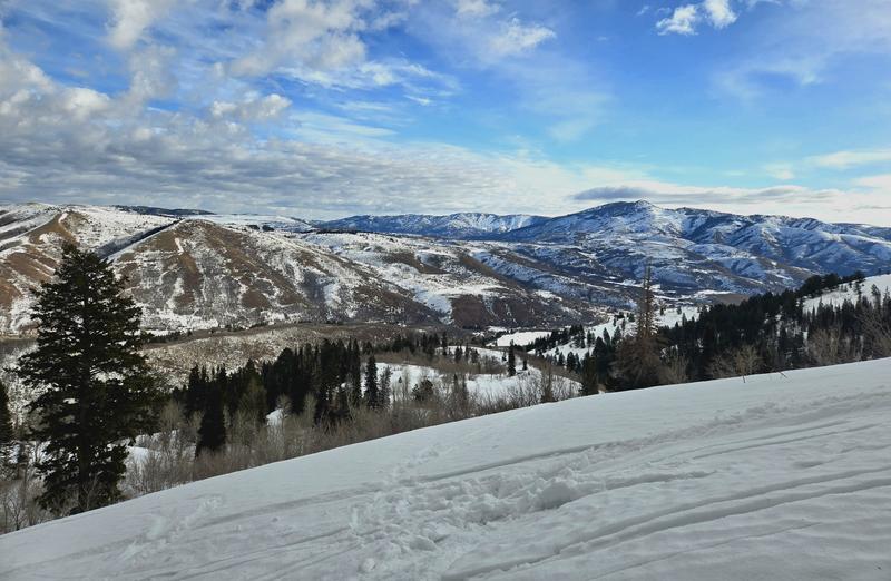
Brown town on south and west across the creek, clouds pushing up and over James Peak in the distance.
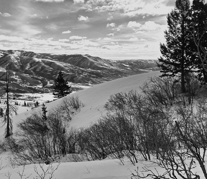
Solidly frozen melt runnels at lower/mid elevation boundary.
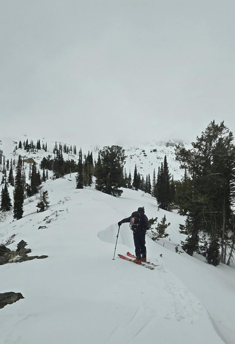
Mid elevation wind wall, super stiff and quite resistant any kind of cajoling.
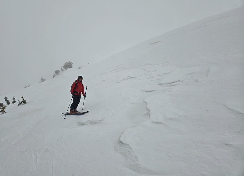
Sastrugi on the shoulder of Ben Lomond, above the saddle.
Today's Observed Danger Rating
None
Tomorrows Estimated Danger Rating
None
Coordinates