

Observation Date
1/26/2025
Observer Name
E Fullmer
Region
Provo » Provo Canyon » North Fork Provo R. » Aspen Grove
Location Name or Route
Aspen Gove - Bob's - UFO Bowls
Comments
TLDR: 25cm (10inches) of new snow, and even the small new load caused quite a bit of reactivity within the snowpack. The height of snow at mid-elevations is approx. 85-125cm deep. This will quickly settle to less. Faceting has continued and will continue. The next substantial load will activate the persistent weak layers, and possibly some new ones in this area.
A quick tour to see the 25cm (10 inches!) of new snow. The new snow was light and skiing was fast, mostly skiing on old surfaces with fun light snow on top. Skiing on the polars was great, solars sometimes scraping crust but it's great to have new snow in the Provo area. The new snow will settle quite a bit.
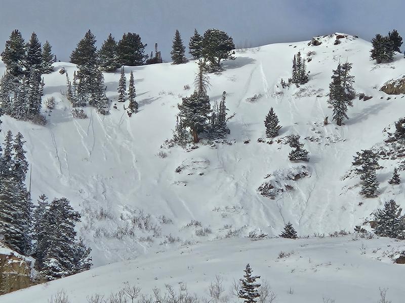
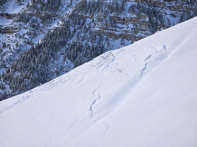
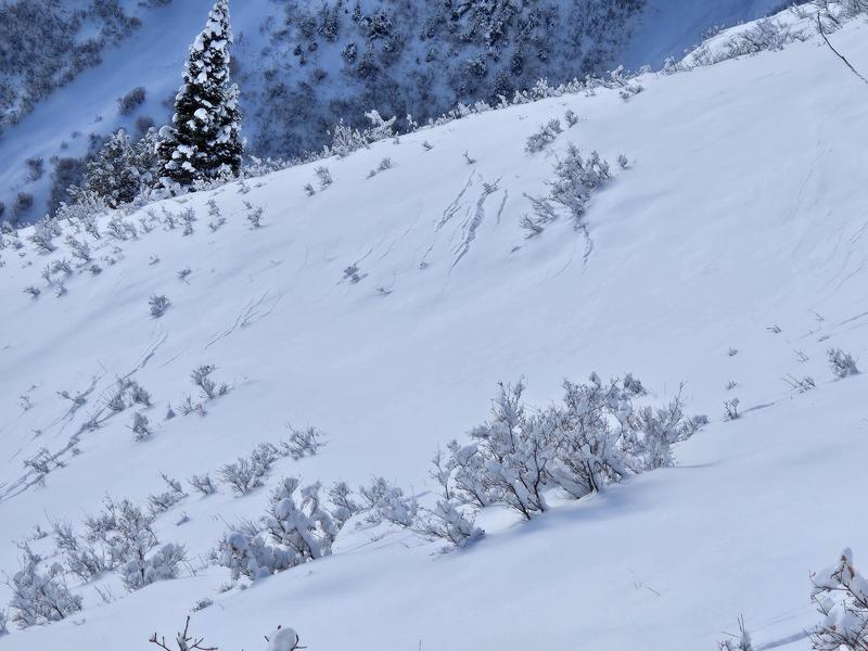
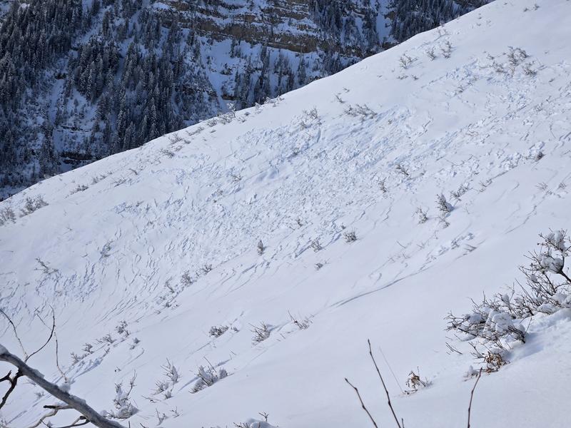
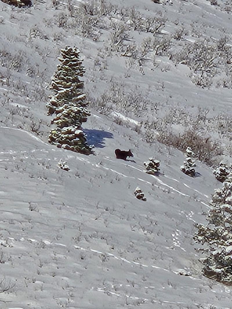
On a mid-elevation SE aspect, there was widespread failure on a slope. Cracks were approx. 600' vertical feet from top to bottom (see photos below). I dug in the snow and there was 25cm light new snow on a 1cm breakable crust. Underneath were 60cm of facets. A thin snowpack that has greatly detoritated. Just the .5 SWE of water made the zone touchy. There were moose tracks and also ski tracks in the area. Not sure what triggered the failure. More snow and a cohesive slab, and I think this slope would've run as an avalanche.
In my quick pit at 8850' on a NE aspect I found a 125cm deep snowpack. The top 25cm was new snow, then a 1cm breakable crust with 7cms of facets beneath this crust with a hardness of fist minus. Going down the snowpack there were a couple of other crusts and got progressively denser from 4F to 1F until the bottom 30cm, regardless, this part of the snowpack was weakening as well. The bottom 30cm are the early season facets, finding facets around 3mm in size. Some of these were chained. The hand density was fist hardness.
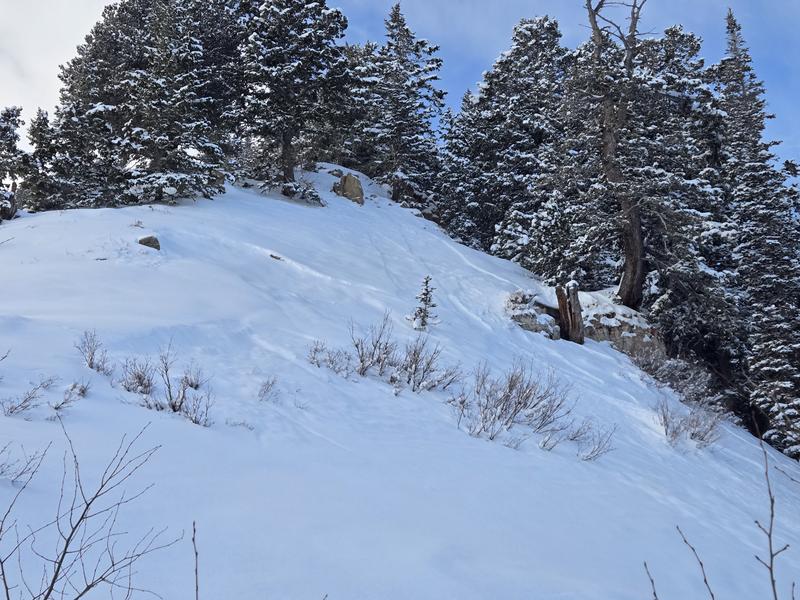
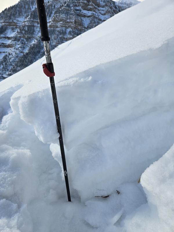
There were some avalanches within the new snow. Both point releases (dry loose) and also a small storm/wind slab in a wind affected and thin rocky area. I'm not sure if this one was natural or not, there were tracks from yesterday in the area.
Photos:
1: Dry loose in UFO #2
2: Facets from bottom 30cm of snowpack at 8850' on a NE aspect
3: Described small storm/wind slab
4-6: Described failure on 8500' SE aspect
7: Snowpack on the 8500' SE aspect
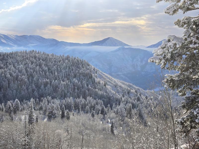
8: The morning view
9: Local snowpack testers

Today's Observed Danger Rating
Moderate
Tomorrows Estimated Danger Rating
Moderate
Coordinates