Travel today through Thomas and North's Forks to check on mid and low elevation surface snow as a (smaller) storm approaches. The takeaway was that the last weeks cold and the recent northerly winds have created 2 poor-structured environments in this zone:
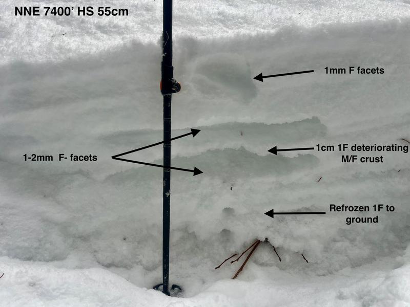
-One on lower-elevation and sheltered slopes has a thin(<1m), incredibly weak snowpack with facets and a thin, fragile M/F crust 20-30 cm down in many areas (Pic 1). These areas pour facets out as you skin through but have no slab on top and will not be a problem until a slab forms on top, looking unlikely during the coming event at this elevation.
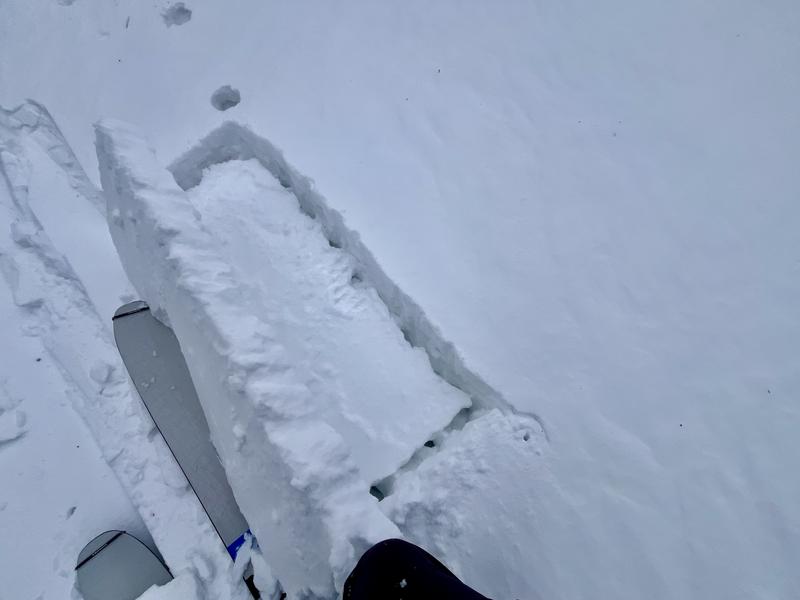
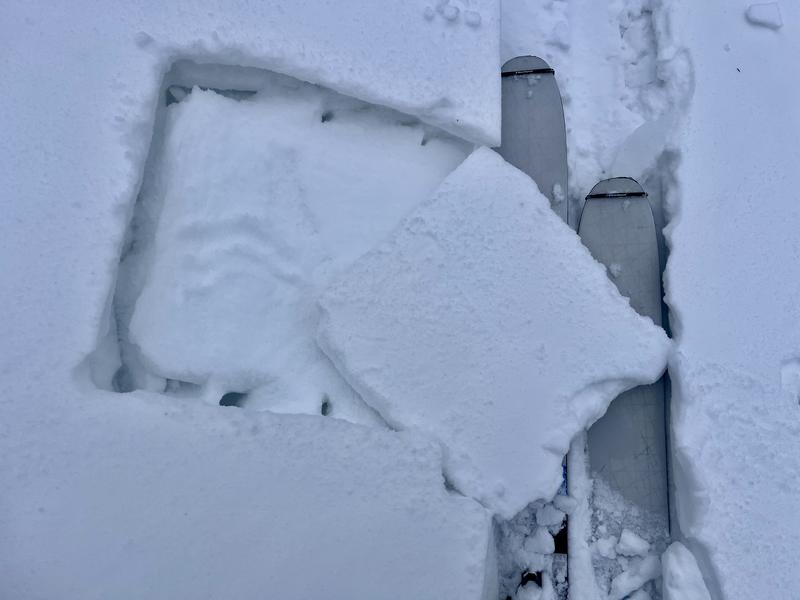
-The other exist on wind-affected terrain above treeline and in this area above ~8500'. Here the winds have deposited anywhere from a 1-8" windslab on top of 1mm facets (Pic 2). This slab is stubborn to trigger currently but has a weak interface and may allow new snow to form a thicker, wider slab before failure. Will be interesting to see what weight this storm adds to the higher reaches of this area.
This windslab was consistently failing on isolation (Pics 3 & 4) but doesn't have the weight to be problematic yet.
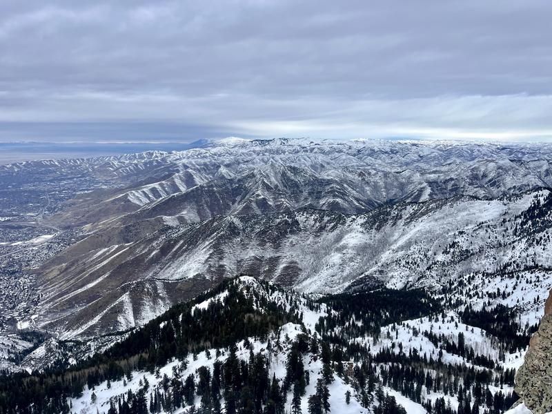
The thin low-elevation snowpack was clear looking north (Pic 5) and at this point in the year my thought is that many southerly slopes may not regain skiability.
Up though the higher reaches of the Memorials and Hobbs Peak start zones are thoroughly faceted and will be suspect when/if snow comes.