Join us at our 2nd Annual Blizzard Ball

Observation: Mill D North

Observation Date
1/12/2025
Observer Name
Manship, Collett, & Meyer
Region
Salt Lake » Big Cottonwood Canyon » Mill D North
Location Name or Route
Mill D North
Weather
Sky
Broken
Precipitation
Light Snowfall
Wind Direction
North
Wind Speed
Light
Weather Comments
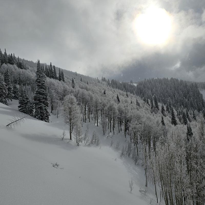
A beautiful day that kept the snow trickling in and preserving the snow surface quality. Generally overcast with light flurries and the occasional glimpse of sun. Winds where light and temps where cold.
Snow Characteristics
New Snow Depth
6"
New Snow Density
Low
Snow Surface Conditions
Powder
Snow Characteristics Comments
The snow was right side up and made for great riding conditions. 1-2" of snow accumulated through out the day. The solar slopes took on the slightest amount of heat but not enough to ruin the party.
Red Flags
Red Flags
Poor Snowpack Structure
Red Flags Comments
The only red flag we noted was faceted snow at the ground.
Avalanche Problem #1
Problem
Wind Drifted Snow
Trend
Same
Problem #1 Comments
On higher ridges I would imagine that wind drifts are forming. The recent snow is very light and there is a lot of it for transport on all aspects.
Avalanche Problem #2
Problem
Persistent Weak Layer
Trend
Same
Problem #2 Comments
While this layer seems to be headed in the right directing, it isn't done yet. Although we haven't seen many signs of instability poor structure still exists on polar slopes.
Snow Profile
Aspect
Northeast
Elevation
9,100'
Slope Angle
23°
Comments
Facets where showing signs of rounding. We did not see propagation in and ECT, even with bonus taps. There was a distinct layer of graupel 45cm down.
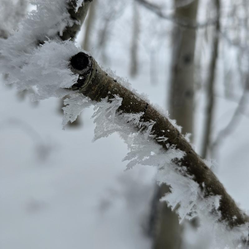
There was beautiful rime on the aspens in most areas above 9000'.
At mid and low elevations we did see some very small dry loose avalanches on very steep solars that received a glance of sun.
Today's Observed Danger Rating
Considerable
Tomorrows Estimated Danger Rating
Moderate
Coordinates