Observation Date
1/12/2025
Observer Name
Kelly, Wessler
Region
Salt Lake » Big Cottonwood Canyon » Tuscarora
Location Name or Route
Tuscarora
Comments
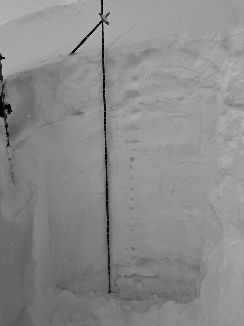
Snowpit total depth was 6' (194cm) which is one of the deeper snowpits I've dug this season. There were weak layers near the ground and those facets where showing signs of rounding. There were some melt-freeze crusts under the newest snow, but these did not seem to be a problem today. This snowpit was below a ridgeline that had probably seen some wind loading during previous storms. I would imagine that the lower elevation southeast aspects might hold colder drier facets near the ground.


Overall MODERATE danger where we traveled today. We traveled on terrain from 8,500' to 10,500' in elevation on all aspects. We stuck to below 30 ° slopes on due east and north facing slopes and pushed it up to 35° on south and west facing slopes. I think the upper elevations that have received more snow have a different snowpack than lower elevation terrain. Read Greg's observation from Mineral Fork (9,000') from today to better understand the variability we are seeing even in the Central Wasatch and the Cottonwoods.
Today's Observed Danger Rating
Moderate
Tomorrows Estimated Danger Rating
Moderate
Coordinates


