Observation Date
1/7/2025
Observer Name
Ted Scroggin
Region
Uintas » Gold Hill
Location Name or Route
Gold Hill
Weather
Sky
Clear
Wind Direction
East
Wind Speed
Light
Weather Comments
Cold east wind with mostly clear skies.
Snow Characteristics
New Snow Depth
3"
New Snow Density
Low
Snow Surface Conditions
Powder
Snow Characteristics Comments
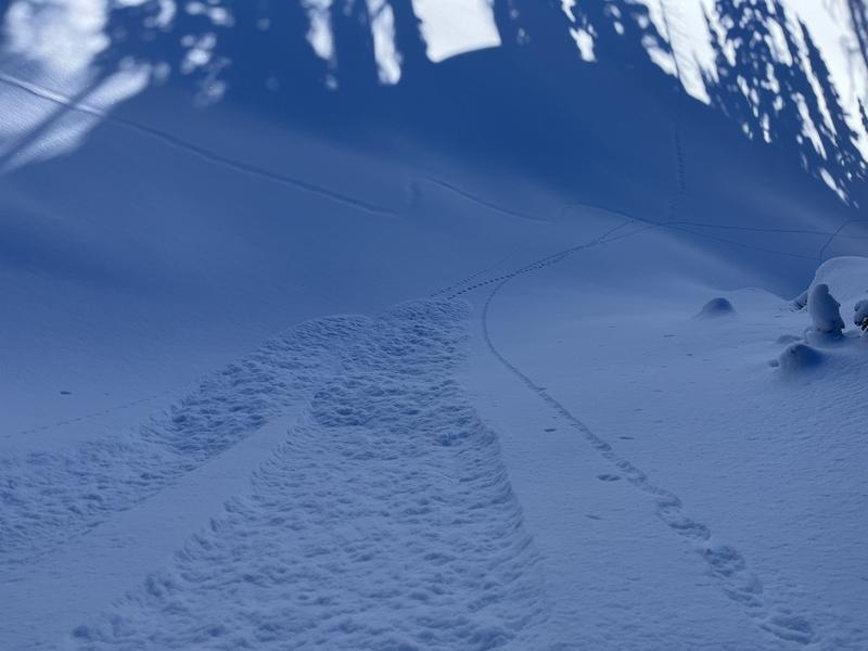
An inch or two around the trail head and seemed like three inches in Gold Hill. Nice cold light density snow and there was quality riding and turning on low angle terrain all around the compass.
Red Flags
Red Flags
Collapsing
Poor Snowpack Structure
Red Flags Comments
I continue to get collapsing as I travel around the last few days. Over the weekend in Mill Creek I experienced numerous collapses as the weak December layer adjusts to the one finger slab above it. Today in Gold Hill I was getting a few quite big collapses and I was sure that I would remotely trigger something on the other side of the ridge from where I was, but nothing.
Avalanche Problem #1
Problem
Persistent Weak Layer
Trend
Same
Problem #1 Comments
Digging around today it was taking several hits from the shoulder to get the weak layer to crack and propagate where the snow pack was fairly deep (125cm/50"). I dug where the snow depth was around 90cm/36" and the column of snow would fail with 17 hits from the elbow. Where the slab is thinner possibly more likely to trigger a slide than where it is deeper?
Avalanche Problem #2
Problem
Wind Drifted Snow
Trend
Same
Problem #2 Comments
The cold east wind was not blowing a lot of snow where I traveled, but it was not taking much wind to move the new low density snow around. Wind from the east is not normally the prevailing wind direction so there were drifts forming opposite of what is more typical.
Comments
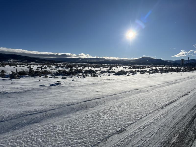
The east winds were already at work this morning blowing snow in the low elevation areas.
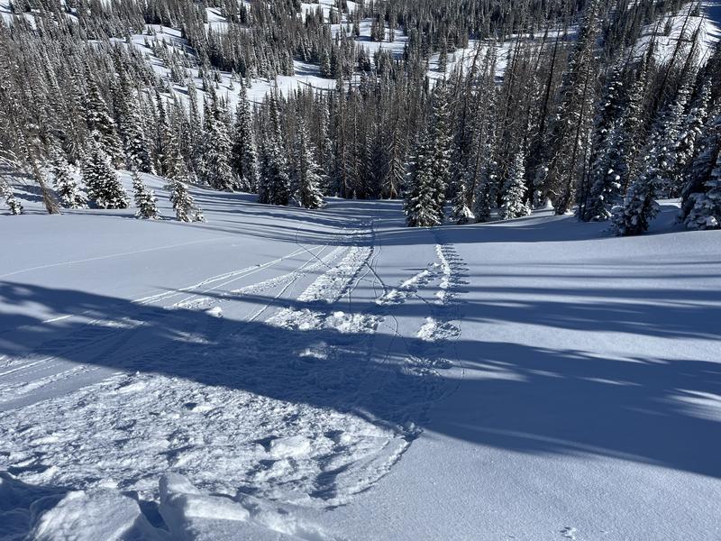
Some minor sluffing of the new low density snow along the ridges and just some soft chunks of snow breaking off and not producing any results as they trundled down the slope.
Today's Observed Danger Rating
Considerable
Tomorrows Estimated Danger Rating
Considerable
Coordinates


